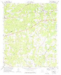
1973 Map of Temple
USGS Topo · Published 1975About this map
Temple and Bremen anchor this early 1970s landscape where the Southern Railway traverses the northern edge of the Georgia Piedmont. The area reflects a rural community connected by small centers and a network of named country roads such as Center Point Road and Hogliver Road. Numerous community churches and cemeteries define the local geography, including Zion Hill Ch, Miller Academy Ch, and Asbury Cem near the Wt Substation.
Find a feature on this map
55 named features on this map. Tap any name to fly to it.
Don’t see what you’re looking for? This feature index may not catch every label — zoom into the map to look around manually.
Map Details
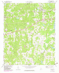
Editions of this 1973 Temple Map
2 editions found
Other maps of this area

1889 · Tallapoosa
USGS Topo · 1:125,000

1891 · Marietta
USGS Topo · 1:125,000

1892 · Tallapoosa
USGS Topo · 1:125,000

1895 · Marietta
USGS Topo · 1:125,000

1897 · Marietta
USGS Topo · 1:125,000

1897 · Tallapoosa
USGS Topo · 1:125,000

1901 · Marietta
USGS Topo · 1:125,000

1953 · Atlanta
USGS Topo · 1:250,000

1957 · Atlanta
USGS Topo · 1:250,000

1958 · Atlanta
USGS Topo · 1:250,000