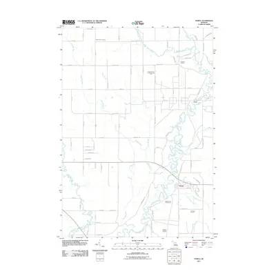
2011 Map of Temple
USGS Topo · Published 2011About this map
The settlement of Temple sits near the winding banks of the Muskegon River in this part of Michigan, where a landscape defined by water and forest meets modern industry. The river system here is dense, joined by the West Branch Clam River and numerous tributaries such as Giss-I-Was Creek and Whisky Creek. This geography influenced the location of landmarks like the Church Bridge and the Temple Forest Campground, providing insight into the recreational and social hubs of the community.
Find a feature on this map
67 named features on this map. Tap any name to fly to it.
Don’t see what you’re looking for? This feature index may not catch every label — zoom into the map to look around manually.
Map Details
Editions of this 2011 Temple Map
This is the sole edition of this map. No revisions or reprints were ever made.
Other maps of this area

1954 · Traverse City
USGS Topo · 1:250,000

1954 · Midland
USGS Topo · 1:250,000

1957 · Harrison
USGS Topo · 1:62,500

1957 · Marion
USGS Topo · 1:62,500

1958 · Traverse City
USGS Topo · 1:250,000

1958 · Midland
USGS Topo · 1:250,000

1959 · Midland
USGS Topo · 1:250,000

1959 · Lake
USGS Topo · 1:62,500

1959 · Clare
USGS Topo · 1:62,500

1966 · Midland
USGS Topo · 1:250,000