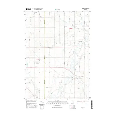
2014 Map of Temple
USGS Topo · Published 2014About this map
Temple serves as the primary hub in this corner of Clare County, situated where the Muskegon River begins its winding course southward through a landscape defined by an intricate network of tributaries. The drainage of the West Branch Clam River and Clam River dominates the northern reaches, while the Middle Branch River cuts through the southwest. This area is a patchwork of rural township lines, including the boundary between Osceola and Clare Counties. Local history is anchored by several resting places, including Fernwood Cem near Little Norway Cr and Winterfield Cem to the north. The presence of Church Bridge crossing the Muskegon suggests long-established river crossings that supported the agricultural and residential development of Redding and Winterfield townships during the late twentieth century.
Find a feature on this map
76 named features on this map. Tap any name to fly to it.
Don’t see what you’re looking for? This feature index may not catch every label — zoom into the map to look around manually.
Map Details
Editions of this 2014 Temple Map
This is the sole edition of this map. No revisions or reprints were ever made.
Other maps of this area
1954 · Traverse City
USGS Topo · 1:250,000
1954 · Midland
USGS Topo · 1:250,000
1957 · Harrison
USGS Topo · 1:62,500
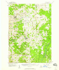
1957 · Marion
USGS Topo · 1:62,500
1958 · Traverse City
USGS Topo · 1:250,000
1958 · Midland
USGS Topo · 1:250,000
1959 · Midland
USGS Topo · 1:250,000
1959 · Lake
USGS Topo · 1:62,500
1959 · Clare
USGS Topo · 1:62,500
1966 · Midland
USGS Topo · 1:250,000