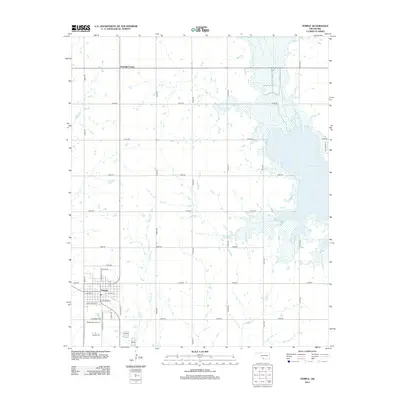
2012 Map of Temple
USGS Topo · Published 2012About this map
The town of Temple serves as the primary hub of this Cotton County landscape, where the local street grid intersects at the junction of W Main St and N Commercial St. This 2012 survey illustrates the town's reach south toward the Temple Cem and the small aviation facility at Temple Airport Inc. The surrounding rural territory is defined by a rigorous section-line road network, including the crossroads at Fivemile Corner to the north.
Find a feature on this map
33 named features on this map. Tap any name to fly to it.
Don’t see what you’re looking for? This feature index may not catch every label — zoom into the map to look around manually.
Map Details
Editions of this 2012 Temple Map
This is the sole edition of this map. No revisions or reprints were ever made.
Other maps of this area

1955 · Lawton
USGS Topo · 1:250,000
1957 · Hastings
USGS Topo · 1:62,500
1957 · Randlett
USGS Topo · 1:62,500
1962 · Walters
USGS Topo · 1:62,500
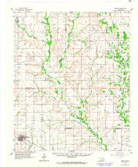
1962 · Temple
USGS Topo · 1:62,500
1984 · Hooper
USGS Topo · 1:24,000
1984 · Waurika West
USGS Topo · 1:24,000
1985 · Taylor
USGS Topo · 1:24,000
1985 · Burkburnett
USGS Topo · 1:100,000
1987 · Walters NE
USGS Topo · 1:24,000