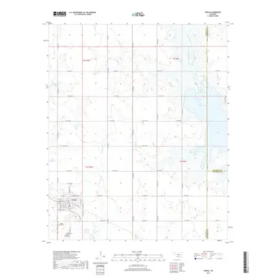
2018 Map of Temple
USGS Topo · Published 2018About this map
Temple stands as the primary hub of this landscape in southwestern Oklahoma, centered around a traditional grid of streets including W Main St and N Commercial Ave. The town is positioned just north of the Temple Cem and the Temple Airport Inc, serving as a gateway to the intricate network of county roads that define the surrounding agricultural plains. The landscape is characterized by its drainage into Waurika Lake to the east, with several local waterways such as Whiskey Cr and Mills Cr carving shallow paths through the terrain.
Find a feature on this map
43 named features on this map. Tap any name to fly to it.
Don’t see what you’re looking for? This feature index may not catch every label — zoom into the map to look around manually.
Map Details
Editions of this 2018 Temple Map
This is the sole edition of this map. No revisions or reprints were ever made.
Other maps of this area

1955 · Lawton
USGS Topo · 1:250,000

1957 · Hastings
USGS Topo · 1:62,500

1957 · Randlett
USGS Topo · 1:62,500

1962 · Walters
USGS Topo · 1:62,500

1962 · Temple
USGS Topo · 1:62,500

1984 · Hooper
USGS Topo · 1:24,000
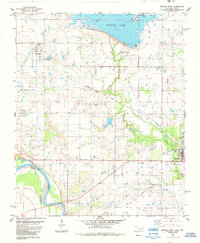
1984 · Waurika West
USGS Topo · 1:24,000
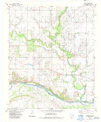
1985 · Taylor
USGS Topo · 1:24,000

1985 · Burkburnett
USGS Topo · 1:100,000
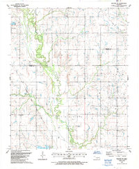
1987 · Walters NE
USGS Topo · 1:24,000