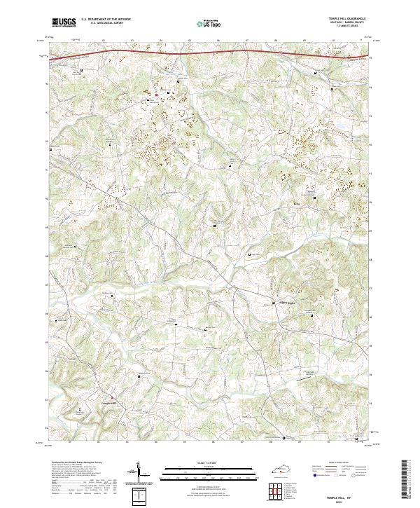
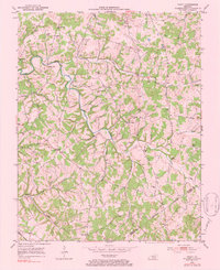
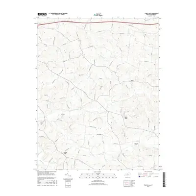
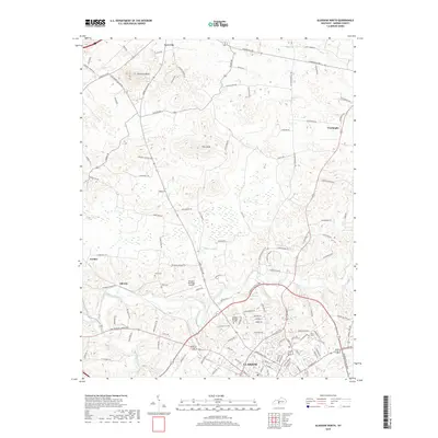
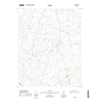
2022 Map of Temple Hill
USGS Topo · Published 2022About this map
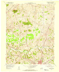
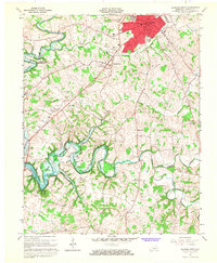
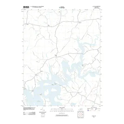
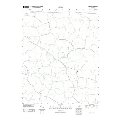
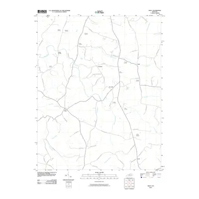
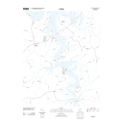
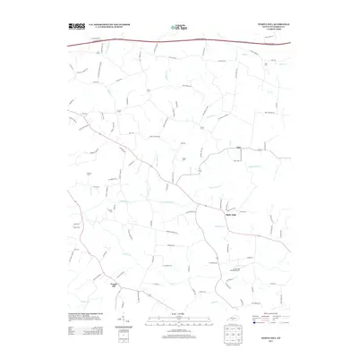
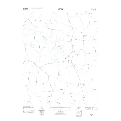
Temple Hill and the uniquely named settlement of Eighty Eight anchor this Barren County landscape, characterized by the winding tributaries of Falling Timber Creek and Glover Creek. The area maintains a rural, decentralized character where local life centers on crossroads and small family hubs rather than dense urban development. Genealogy researchers will find significant value in the extensive mapping of family burial grounds, such as the Abston Family Cem, Matthews - Barbour Cem, and the Lick Branch Cumberland Presbyterian Cem. The terrain is marked by numerous seasonal branches and forks, including Brushy Fork and Swannigan Cr, which historically dictated the placement of roads like the Lecta Kino Rd and Burkesville Rd. The presence of Creek Side Landing suggests a continued focus on the local waterways that have shaped this portion of Kentucky for generations.
Find a feature on this map
120 named features on this map. Tap any name to fly to it.
Don’t see what you’re looking for? This feature index may not catch every label — zoom into the map to look around manually.
Map Details
Editions of this 2022 Temple Hill Map
This is the sole edition of this map. No revisions or reprints were ever made.
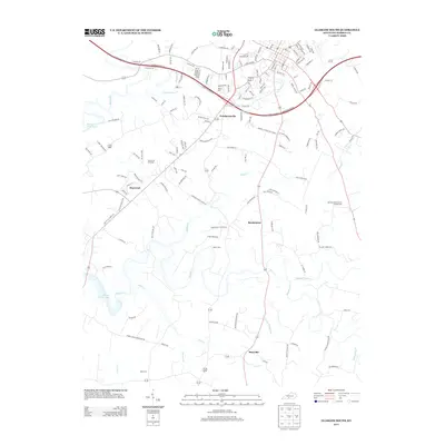
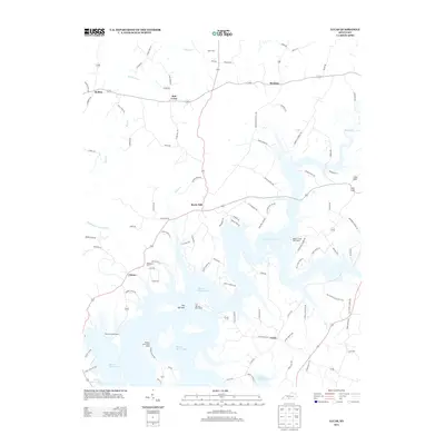
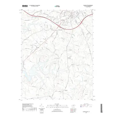
Historical Maps of Eighty Eight Through Time
43 maps found
1953 Glasgow South
Barren County, KY
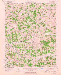
1953 Temple Hill
Barren County, KY

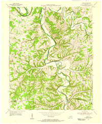
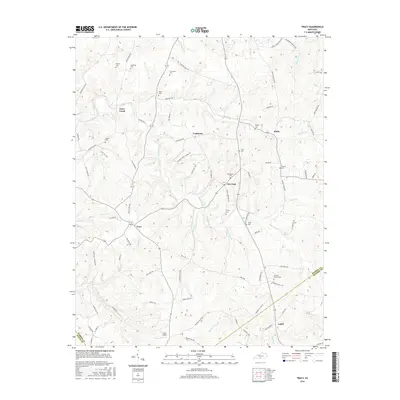
1953 Tracy
Barren County, KY
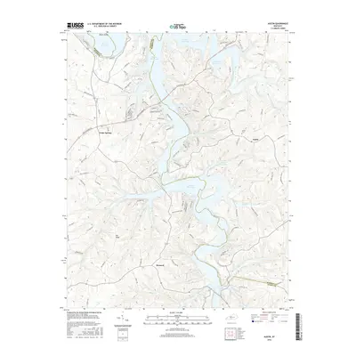
1954 Austin
Barren County, KY
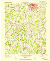
1954 Glasgow North
Barren County, KY
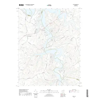
1954 Lucas
Barren County, KY
1965 Austin
Barren County, KY
1965 Glasgow North
Barren County, KY
1965 Glasgow South
Barren County, KY
1973 Glasgow North
Barren County, KY
1973 Glasgow South
Barren County, KY
1973 Temple Hill
Barren County, KY
1979 Tracy
Barren County, KY
2010 Austin
Barren County, KY
2010 Glasgow North
Barren County, KY
2010 Glasgow South
Barren County, KY
2010 Lucas
Barren County, KY
2010 Temple Hill
Barren County, KY
2010 Tracy
Barren County, KY
2013 Austin
Barren County, KY
2013 Glasgow North
Barren County, KY
2013 Glasgow South
Barren County, KY
2013 Lucas
Barren County, KY
2013 Temple Hill
Barren County, KY
2013 Tracy
Barren County, KY
2016 Austin
Barren County, KY
2016 Glasgow North
Barren County, KY
2016 Glasgow South
Barren County, KY
2016 Lucas
Barren County, KY
2016 Temple Hill
Barren County, KY
2016 Tracy
Barren County, KY
2019 Austin
Barren County, KY
2019 Glasgow North
Barren County, KY
2019 Glasgow South
Barren County, KY
2019 Lucas
Barren County, KY
2019 Temple Hill
Barren County, KY
2019 Tracy
Barren County, KY
2022 Austin
Barren County, KY
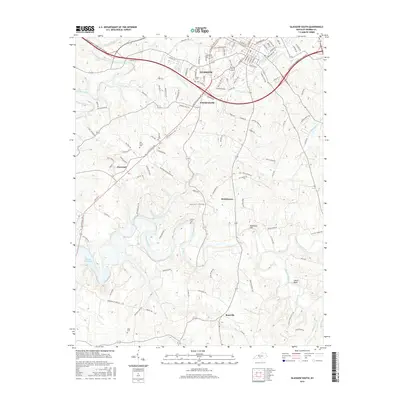
2022 Glasgow North
Barren County, KY
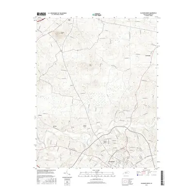
2022 Glasgow South
Barren County, KY
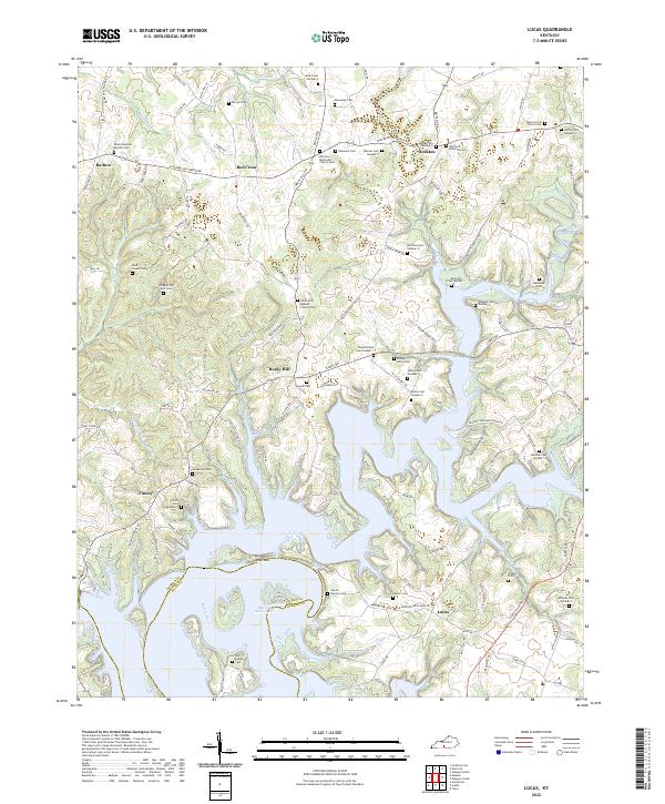
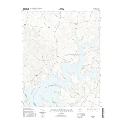
2022 Lucas
Barren County, KY
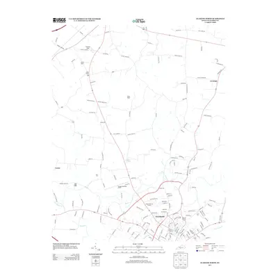
2022 Temple Hill
Barren County, KY
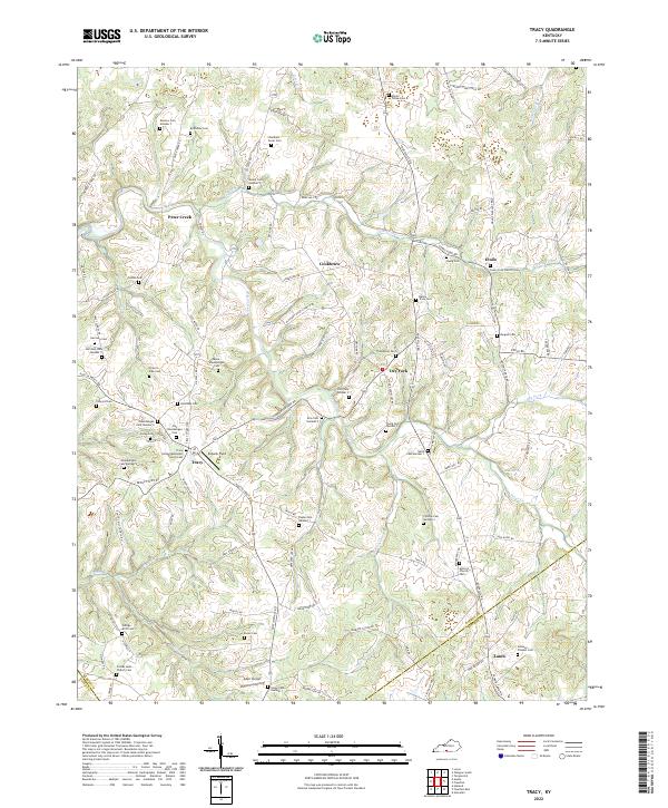
2022 Tracy
Barren County, KY