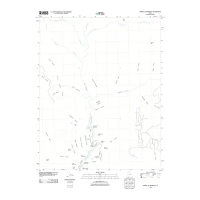
2011 Map of Temple of Sinawava
USGS Topo · Published 2011About this map
Zion Lodge sits at the heart of this study of Zion National Park, where the North Fork Virgin River has carved the deep corridor of Zion Canyon. The geography is defined by immense verticality, from the legendary slot of The Narrows to the soaring heights of Cathedral Mountain and Wynopits Mountain.
Find a feature on this map
63 named features on this map. Tap any name to fly to it.
Don’t see what you’re looking for? This feature index may not catch every label — zoom into the map to look around manually.
Map Details
Editions of this 2011 Temple of Sinawava Map
This is the sole edition of this map. No revisions or reprints were ever made.
Other maps of this area

1885 · St. George
USGS Topo · 1:250,000

1886 · Kanab
USGS Topo · 1:250,000

1891 · St. George
USGS Topo · 1:250,000

1953 · Cedar City
USGS Topo · 1:250,000

1954 · Orderville Canyon NW
USGS Topo · 1:24,000

1954 · Orderville Canyon SE
USGS Topo · 1:24,000

1956 · Springdale NE
USGS Topo · 1:24,000

1957 · Orderville Canyon NE
USGS Topo · 1:24,000

1958 · Cedar City
USGS Topo · 1:250,000

1962 · Cedar City
USGS Topo · 1:250,000