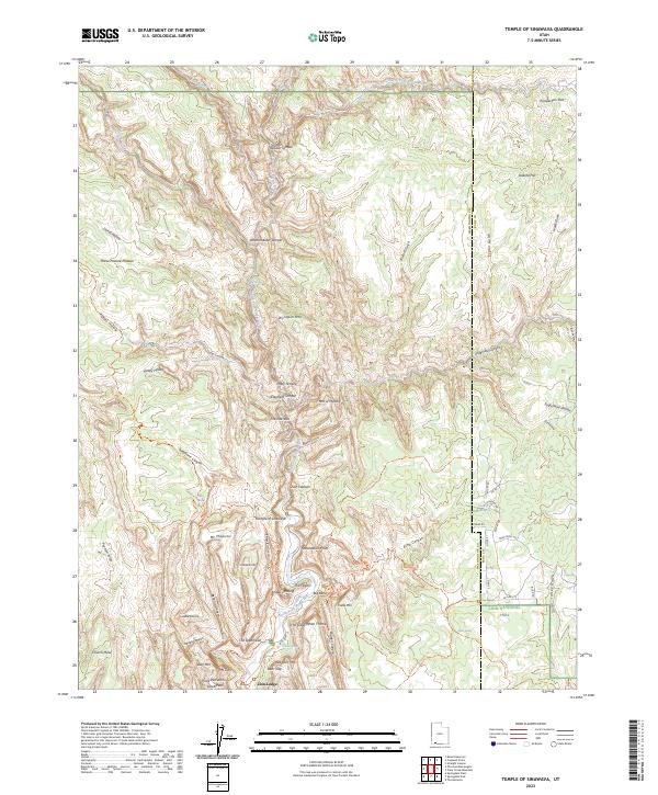
2023 Map of Temple of Sinawava
USGS Topo · Published 2023About this map
Zion National Park and its surrounding wilderness areas dominate this modern survey, defined by the deep carving of the North Fork Virgin River. The canyon floor is marked by significant landmarks including the Temple of Sinawava and the iconic passage known as The Narrows. While the center of activity is anchored by Zion Lodge, the surrounding high plateaus such as Horse Pasture Plateau and Mt Majestic are accessible via an intricate network of paths, including the West Rim Trl and East Mesa Trl. The map illustrates the convergence of geologic formations like Upsilon Temple and Elephant Temple with modern federal land protections, including the Deep Creek Wilderness and Goose Creek Wilderness. Historical use of the high country is evidenced by landmarks such as Observation Point and the remote Stave Spring.
Find a feature on this map
75 named features on this map. Tap any name to fly to it.
Don’t see what you’re looking for? This feature index may not catch every label — zoom into the map to look around manually.
Map Details
Editions of this 2023 Temple of Sinawava Map
This is the sole edition of this map. No revisions or reprints were ever made.
Other maps of this area

1885 · St. George
USGS Topo · 1:250,000

1886 · Kanab
USGS Topo · 1:250,000

1891 · St. George
USGS Topo · 1:250,000

1953 · Cedar City
USGS Topo · 1:250,000

1954 · Orderville Canyon NW
USGS Topo · 1:24,000

1954 · Orderville Canyon SE
USGS Topo · 1:24,000

1956 · Springdale NE
USGS Topo · 1:24,000

1957 · Orderville Canyon NE
USGS Topo · 1:24,000

1958 · Cedar City
USGS Topo · 1:250,000

1962 · Cedar City
USGS Topo · 1:250,000