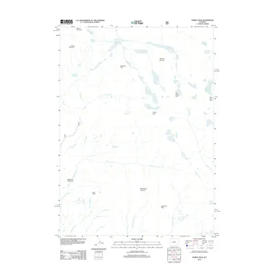
2012 Map of Temple Peak
USGS Topo · Published 2012About this map
Wind River Peak and the high alpine summits of the Wind River Range dominate this high-altitude landscape in the early 21st century. The map centers on the hydrological divide where the Big Sandy River and its tributaries, such as N Temple Cr and Dutch Joe Cr, drain westward from the jagged peaks. This area is defined by a dense concentration of glacial lakes, including Big Sandy Lake, Temple Lake, and the remote Frozen Lakes located just below the shadow of Temple Peak. Southward, the terrain shifts into high-mountain drainage basins like Sedgewick Meadows, while names like Crows Nest and Independent Mountain mark prominent landforms above the intricate network of the W Fork Squaw Cr and Middle Fork Squaw Cr. This documentation captures the character of the Wyoming wilderness before any significant modern structural development reached these high-elevation valleys.
Find a feature on this map
34 named features on this map. Tap any name to fly to it.
Don’t see what you’re looking for? This feature index may not catch every label — zoom into the map to look around manually.
Map Details
Editions of this 2012 Temple Peak Map
This is the sole edition of this map. No revisions or reprints were ever made.
Other maps of this area

1937 · Moccasin Lake
USGS Topo · 1:48,000

1938 · Mt Bonneville
USGS Topo · 1:62,500

1941 · Mt Bonneville
USGS Topo · 1:62,500

1942 · Mt Bonneville
USGS Topo · 1:62,500

1943 · Moccasin Lake
USGS Topo · 1:62,500

1953 · Sweetwater Gap
USGS Topo · 1:24,000

1955 · Lander
USGS Topo · 1:250,000

1958 · Lander
USGS Topo · 1:250,000

1961 · Lander
USGS Topo · 1:250,000

1969 · Jensen Meadows
USGS Topo · 1:24,000