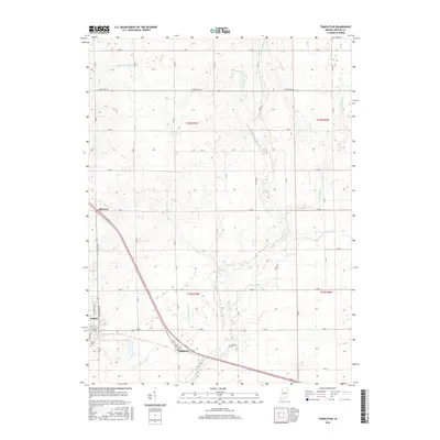
2016 Map of Templeton
USGS Topo · Published 2016About this map
The town of Oxford serves as a primary anchor on this Benton County landscape, situated near the western edge of the survey. The terrain is defined by a sophisticated network of agricultural drainage and natural waterways, including the winding Big Pine Creek and Little Pine Cr. This drainage system, featuring named channels such as Ella Brown Ditch and Greenwood Ditch, illustrates the intensive land management required for the region's productive prairie soils. Transportation routes follow a strict grid pattern typical of the Midwest, punctuated by the diagonal path of Old US Hwy 52. The small settlements of Atkinson and Templeton appear along these transit corridors, reflecting the enduring rural character of the area. Genealogists may find value in the location of Justus Cem, while local historians can trace the intersection of historical township lines and modern infrastructure.
Find a feature on this map
27 named features on this map. Tap any name to fly to it.
Don’t see what you’re looking for? This feature index may not catch every label — zoom into the map to look around manually.
Map Details
Editions of this 2016 Templeton Map
This is the sole edition of this map. No revisions or reprints were ever made.
Other maps of this area
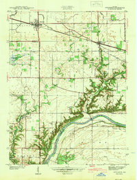
1942 · Otterbein
USGS Topo · 1:24,000
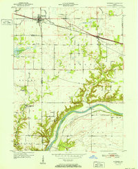
1951 · Otterbein
USGS Topo · 1:24,000
1953 · Danville
USGS Topo · 1:250,000
1955 · Danville
USGS Topo · 1:250,000
1956 · Danville
USGS Topo · 1:250,000
1961 · Chatterton
USGS Topo · 1:24,000
1961 · Pine Village
USGS Topo · 1:24,000
1961 · Otterbein
USGS Topo · 1:24,000
1962 · Mount Gilboa
USGS Topo · 1:24,000
1962 · Round Grove
USGS Topo · 1:24,000