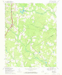
1969 Map of Templeton
USGS Topo · Published 1971About this map
The rural landscape of Prince George Co and Sussex Co converges near Templeton, where the Atlantic Coast Line Railroad and U.S. Route 301 bisect a region defined by intricate wetlands and old water-powered sites. Local history is anchored by several country churches, including Providence Ch and Salem Ch, serving as community focal points for the surrounding timber and farm lands. The drainage pattern is dominated by winding watercourses like Warwick Swamp and Jones Hole Swamp, which feed into established milling sites such as Lees Millpond and Belsches Millpond. These millponds and the surrounding Cherry Orchard Branch reflect a traditional Southern land use pattern where industry was closely tied to the natural hydrology of the Coastal Plain. For genealogists, several small cemeteries and family-named landmarks like Lees Mill and Nelson provide tangible connections to the area's mid-century residents.
Find a feature on this map
26 named features on this map. Tap any name to fly to it.
Don’t see what you’re looking for? This feature index may not catch every label — zoom into the map to look around manually.
Map Details
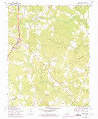
Editions of this 1969 Templeton Map
2 editions found
Other maps of this area

1894 · Petersburg
USGS Topo · 1:62,500

1919 · Jarratt
USGS Topo · 1:62,500

1919 · Disputanta
USGS Topo · 1:62,500

1919 · Homeville
USGS Topo · 1:48,000

1920 · Homeville
USGS Topo · 1:62,500

1943 · Littleton
USGS Topo · 1:31,680

1943 · Disputanta
USGS Topo · 1:31,680

1943 · Richmond
USGS Topo · 1:250,000

1944 · Reams
USGS Topo · 1:31,680
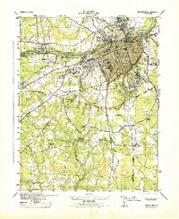
1944 · Petersburg
USGS Topo · 1:31,680