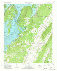
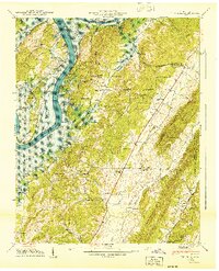
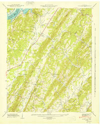
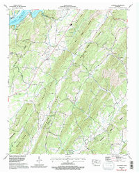
1973 Map of Ten Mile
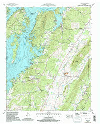
USGS Topo · Published 1975This historical map portrays the area of Ten Mile in 1973, primarily covering Meigs County as well as portions of Rhea County, Roane County, and McMinn County. Featuring a scale of 1:24000, this map provides a highly detailed snapshot of the terrain, roads, buildings, counties, and historical landmarks in the Ten Mile region at the time. Published in 1975, it is one of 2 known editions of this map due to revisions or reprints.
Find a feature on this map
89 named features on this map. Tap any name to fly to it.
Don’t see what you’re looking for? This feature index may not catch every label — zoom into the map to look around manually.
Map Details
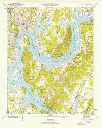
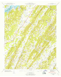
Editions of this 1973 Ten Mile Map
2 editions found
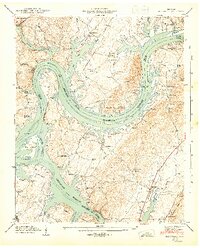
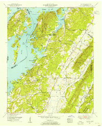
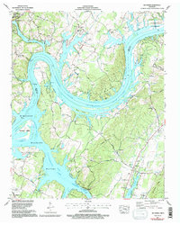
Historical Maps of Eden of the Lake Through Time
12 maps found
1935 Big Spring
Meigs County, TN
1935 Goodfield
Meigs County, TN
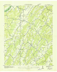
1936 Ten Mile
Meigs County, TN
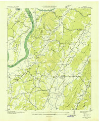
1940 Ten Mile
Meigs County, TN
1942 Big Spring
Meigs County, TN
1942 Goodfield
Meigs County, TN
1943 Big Spring
Meigs County, TN
1943 Goodfield
Meigs County, TN
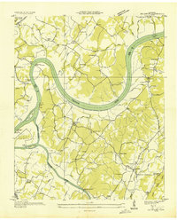
1952 Ten Mile
Meigs County, TN
1967 Big Spring
Meigs County, TN
1967 Goodfield
Meigs County, TN
1973 Ten Mile
Meigs County, TN