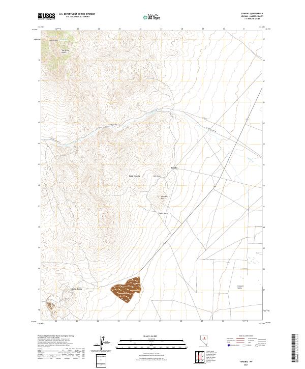
2021 Map of Tenabo
USGS Topo · Published 2021About this map
Gold Quartz and the historic settlement at Tenabo stand as markers of mining history in the high desert of Crescent Valley. This 2021 survey of the Shoshone Range illustrates a landscape where industrial footprints intersect with natural drainages like Indian Cr and Mill Gulch. To the south, the settlement of Gold Acres anchors the map near a concentration of mining activity, while prominent peaks like Bullion Mtn and Altenburg Hill define the local topography. The presence of Rock Spring and named gulches such as Triplet Gulch indicates the critical importance of water sources in this arid mining district, where remote access is maintained via Lander Co Road 106.
Find a feature on this map
17 named features on this map. Tap any name to fly to it.
Don’t see what you’re looking for? This feature index may not catch every label — zoom into the map to look around manually.
Map Details
Editions of this 2021 Tenabo Map
This is the sole edition of this map. No revisions or reprints were ever made.
Other maps of this area

1938 · Cortez
USGS Topo · 1:48,000

1944 · Cortez
USGS Topo · 1:62,500

1949 · Crescent Valley
USGS Topo · 1:62,500

1949 · Mt. Lewis
USGS Topo · 1:62,500

1950 · Mt. Lewis
USGS Topo · 1:62,500

1950 · Crescent Valley
USGS Topo · 1:62,500

1955 · Winnemucca
USGS Topo · 1:250,000

1958 · Winnemucca
USGS Topo · 1:250,000

1962 · Winnemucca
USGS Topo · 1:250,000

1962 · Carico Lake
USGS Topo · 1:62,500