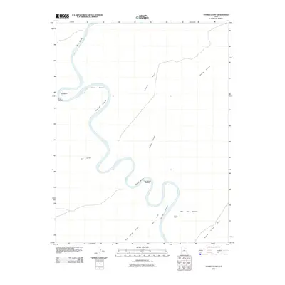
2011 Map of Tenmile Point
USGS Topo · Published 2011About this map
The Green River carves a dramatic, winding path through this portion of Grand County, defining the landscape with its intricate meanders and deep incisions into the plateau. The river's course is punctuated by significant alluvial flats such as Bull Bottom, Junes Bottom, and Tenmile Bottom, which represent rare level ground within the complex drainage systems. The topography is dominated by the vast descent of Labyrinth Canyon, where the water has etched sharp turns like Trin-Alcove Bend into the surrounding stone.
Find a feature on this map
15 named features on this map. Tap any name to fly to it.
Don’t see what you’re looking for? This feature index may not catch every label — zoom into the map to look around manually.
Map Details
Editions of this 2011 Tenmile Point Map
This is the sole edition of this map. No revisions or reprints were ever made.
Other maps of this area

1885 · San Rafael
USGS Topo · 1:250,000

1885 · La Sal
USGS Topo · 1:250,000

1951 · The Knoll
USGS Topo · 1:62,500

1952 · Tidwell 4 SE
USGS Topo · 1:24,000

1952 · Tidwell 4 NE
USGS Topo · 1:24,000

1952 · Moab 3 SW
USGS Topo · 1:24,000

1952 · Moab 3 NW
USGS Topo · 1:24,000

1954 · Tidwell 1 SW
USGS Topo · 1:24,000

1954 · Tidwell 1 SE
USGS Topo · 1:24,000

1954 · Green River
USGS Topo · 1:62,500