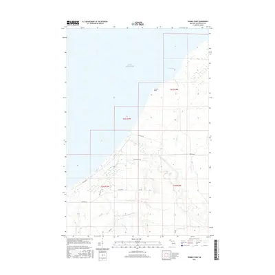
2017 Map of Tenmile Point
USGS Topo · Published 2017About this map
Lake Superior meets the shoreline of Ontonagon County at Tenmile Point, a distinctive projection into the water that defines this stretch of the Upper Peninsula coast. The landscape is dominated by a dense network of watercourses draining into the lake, including the Firesteel River and Flintsteel River, alongside numerous smaller tributaries such as Tenmile Cr, Bear Cr, and Cane Cr. This rural area is crisscrossed by roads that often follow the natural contours of the land or established section lines, such as Lakeshore Dr and the evocatively named Hungry Hollow Rd. The map illustrates the transition from the rocky lakefront to the inland topography of Ontonagon Township, where local names like Aho Rd and Beck Rd suggest the legacy of local landownership and rural settlement patterns in the northern Michigan woods.
Find a feature on this map
18 named features on this map. Tap any name to fly to it.
Don’t see what you’re looking for? This feature index may not catch every label — zoom into the map to look around manually.
Map Details
Editions of this 2017 Tenmile Point Map
This is the sole edition of this map. No revisions or reprints were ever made.
Other maps of this area
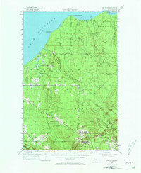
1950 · Greenland
USGS Topo · 1:62,500
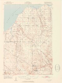
1951 · Greenland
USGS Topo · 1:62,500
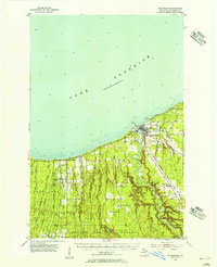
1955 · Ontonagon
USGS Topo · 1:62,500
1958 · Hancock
USGS Topo · 1:250,000
1958 · Iron River
USGS Topo · 1:250,000
1960 · Iron River
USGS Topo · 1:250,000
1960 · Hancock
USGS Topo · 1:250,000
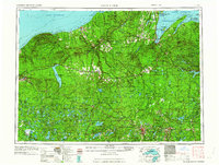
1961 · Iron River
USGS Topo · 1:250,000
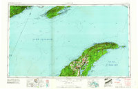
1961 · Hancock
USGS Topo · 1:250,000
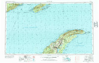
1966 · Hancock
USGS Topo · 1:250,000