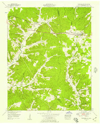
1953 Map of Tennessee City
USGS Topo · Published 1957About this map
The boundary between Dickson Co and Humphreys Co bisects this mid-century landscape, dominated by the Nashville Chattanooga and St Louis railway corridor. The village of Tennessee City serves as a local hub near the divide, while the highway labeled Broadway of America runs parallel to the tracks, illustrating the era's primary transportation arteries. The terrain is deeply incised by a dense network of hollows, such as Buckhorn Hollow and Nolan Hollow, which dictate the placement of small rural settlements like Ewing and Few Chapel.
Find a feature on this map
65 named features on this map. Tap any name to fly to it.
Don’t see what you’re looking for? This feature index may not catch every label — zoom into the map to look around manually.
Map Details
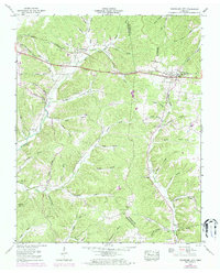
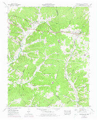
Editions of this 1953 Tennessee City Map
3 editions found
Other maps of this area

1901 · Colombia
USGS Topo · 1:125,000

1936 · Gorman
USGS Topo · 1:24,000

1936 · Woolworth
USGS Topo · 1:24,000

1936 · Ruskin
USGS Topo · 1:24,000

1936 · Bucksnort
USGS Topo · 1:24,000

1936 · Texas Hollow
USGS Topo · 1:24,000

1936 · Spot
USGS Topo · 1:24,000

1936 · Tennessee City
USGS Topo · 1:24,000

1936 · Dickson
USGS Topo · 1:24,000
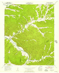
1952 · Bucksnort
USGS Topo · 1:24,000