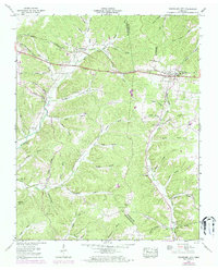
1953 Map of Tennessee City
USGS Topo · Published 1973About this map
The Valley Divide ridge serves as the topographical backbone of this Tennessee landscape, separating the intricate drainage systems of Hurricane Creek to the west and Davidson Creek to the east. At the center of this rural network lies Tennessee City, where the Louisville and Nashville Railroad and the historic Broadway of America highway intersect. This survey, updated with 1970s photogrammetric revisions, captures the community's evolution, including the Tennessee City School and a Community Center that mark the settlement's core.
Find a feature on this map
72 named features on this map. Tap any name to fly to it.
Don’t see what you’re looking for? This feature index may not catch every label — zoom into the map to look around manually.
Map Details
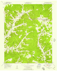
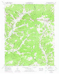
Editions of this 1953 Tennessee City Map
3 editions found
Other maps of this area

1901 · Colombia
USGS Topo · 1:125,000

1936 · Gorman
USGS Topo · 1:24,000

1936 · Woolworth
USGS Topo · 1:24,000

1936 · Ruskin
USGS Topo · 1:24,000

1936 · Bucksnort
USGS Topo · 1:24,000

1936 · Texas Hollow
USGS Topo · 1:24,000

1936 · Spot
USGS Topo · 1:24,000

1936 · Tennessee City
USGS Topo · 1:24,000

1936 · Dickson
USGS Topo · 1:24,000
1952 · Bucksnort
USGS Topo · 1:24,000