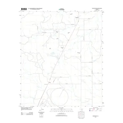
2012 Map of Tennyson
USGS Topo · Published 2012About this map
The small settlement of Tennyson anchors this portion of Tom Green County, where the West Texas landscape is defined by a series of named elevations and a network of ephemeral creeks. Topography is marked by prominent landmarks such as Mt Margaret, Brooks Hill, and Kiser Mtn, providing a clear view of the area's physical geography. Transport infrastructure is centered on the corridor near Wooland Siding and Orient, with paths like Orient Pass and Sierra Trl cutting through the terrain.
Find a feature on this map
35 named features on this map. Tap any name to fly to it.
Don’t see what you’re looking for? This feature index may not catch every label — zoom into the map to look around manually.
Map Details
Editions of this 2012 Tennyson Map
This is the sole edition of this map. No revisions or reprints were ever made.
Other maps of this area
1891 · Hayrick
USGS Topo · 1:125,000
1894 · Hayrick
USGS Topo · 1:125,000
1921 · Baker Flat
USGS Topo · 1:31,680
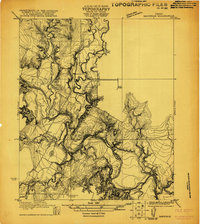
1921 · Maverick
USGS Topo · 1:31,680
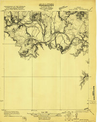
1921 · Mays School
USGS Topo · 1:31,680
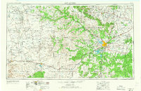
1954 · San Angelo
USGS Topo · 1:250,000
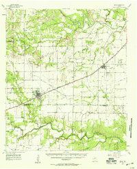
1957 · Miles
USGS Topo · 1:62,500
1957 · Harriet
USGS Topo · 1:62,500
1957 · San Angelo North
USGS Topo · 1:24,000
1958 · San Angelo
USGS Topo · 1:250,000