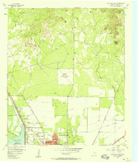
1957 Map of San Angelo North
USGS Topo · Published 1958About this map
San Angelo's northern expansion is recorded here during the late 1950s, showing a transition from dense urban blocks to the sprawling institutional and industrial outskirts of Tom Green County. The northern city limits are defined by the Lake View Sch and Lake View Stadium, while leisure and entertainment of the era are represented by a Drive-in Theater and the local Fairground. This period marks the early presence of the San Angelo Reservoir to the west, a critical water management feature for the region.
Find a feature on this map
24 named features on this map. Tap any name to fly to it.
Don’t see what you’re looking for? This feature index may not catch every label — zoom into the map to look around manually.
Map Details
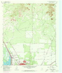
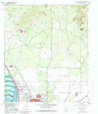
Editions of this 1957 San Angelo North Map
Other maps of this area

1891 · Hayrick
USGS Topo · 1:125,000

1892 · San Angelo
USGS Topo · 1:125,000

1894 · Hayrick
USGS Topo · 1:125,000

1895 · Sherwood
USGS Topo · 1:125,000

1924 · San Angelo 2-b
USGS Topo · 1:48,000

1924 · Sherwood 1-a
USGS Topo · 1:48,000

1928 · Wall
USGS Topo · 1:62,500

1928 · Tankersly
USGS Topo · 1:62,500

1954 · San Angelo
USGS Topo · 1:250,000

1957 · Carlsbad
USGS Topo · 1:62,500