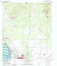
1957 Map of San Angelo North
USGS Topo · Published 1991About this map
The expanding northern limits of San Angelo meet the high West Texas plains in this 1957 survey, updated through the 1970s. The landscape is dominated by the massive O C Fisher Lake and its protective Levee, illustrating the mid-century hydrological engineering required to manage the drainage of Grape Creek and Red Creek. The map documents a community in transition, showing the infrastructure of the Lake View Sch and Lake View Stadium alongside family-named points like the A Robbins residence.
Find a feature on this map
17 named features on this map. Tap any name to fly to it.
Don’t see what you’re looking for? This feature index may not catch every label — zoom into the map to look around manually.
Map Details
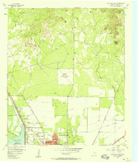
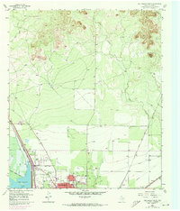
Editions of this 1957 San Angelo North Map
Other maps of this area

1891 · Hayrick
USGS Topo · 1:125,000

1892 · San Angelo
USGS Topo · 1:125,000

1894 · Hayrick
USGS Topo · 1:125,000

1895 · Sherwood
USGS Topo · 1:125,000

1924 · San Angelo 2-b
USGS Topo · 1:48,000

1924 · Sherwood 1-a
USGS Topo · 1:48,000

1928 · Wall
USGS Topo · 1:62,500

1928 · Tankersly
USGS Topo · 1:62,500

1954 · San Angelo
USGS Topo · 1:250,000

1957 · Carlsbad
USGS Topo · 1:62,500