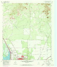
1957 Map of San Angelo North
USGS Topo · Published 1973About this map
San Angelo's northern expansion is clearly visible in this mid-century survey, where the suburban interface meets the West Texas landscape. The map highlights the development of the Lake View district, featuring the Lake View Sch and the adjacent Lake View Stadium, as the city limits began to push toward the open terrain. The western edge of the sheet is dominated by the waters of San Angelo Lake, which serves as a significant geographical anchor for the growing residential grid and North Shore Drive.
Find a feature on this map
18 named features on this map. Tap any name to fly to it.
Don’t see what you’re looking for? This feature index may not catch every label — zoom into the map to look around manually.
Map Details
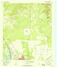
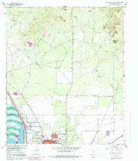
Editions of this 1957 San Angelo North Map
Other maps of this area

1891 · Hayrick
USGS Topo · 1:125,000

1892 · San Angelo
USGS Topo · 1:125,000

1894 · Hayrick
USGS Topo · 1:125,000

1895 · Sherwood
USGS Topo · 1:125,000

1924 · San Angelo 2-b
USGS Topo · 1:48,000

1924 · Sherwood 1-a
USGS Topo · 1:48,000

1928 · Wall
USGS Topo · 1:62,500

1928 · Tankersly
USGS Topo · 1:62,500

1954 · San Angelo
USGS Topo · 1:250,000

1957 · Carlsbad
USGS Topo · 1:62,500