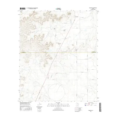
2016 Map of Tennyson
USGS Topo · Published 2016About this map
Tennyson and Orient anchor this 2016 study of the West Texas landscape, where the boundary between Coke Co and Tom Green Co bisects a terrain of prominent mesas and seasonal drainages. The area is defined by significant relief, including Kiser Mtn, Mt Margaret, and the descriptively named Deadman Hill. These elevations are separated by critical transit points like Orient Pass, which facilitates movement through the broken country.
Find a feature on this map
36 named features on this map. Tap any name to fly to it.
Don’t see what you’re looking for? This feature index may not catch every label — zoom into the map to look around manually.
Map Details
Editions of this 2016 Tennyson Map
This is the sole edition of this map. No revisions or reprints were ever made.
Other maps of this area
1891 · Hayrick
USGS Topo · 1:125,000
1894 · Hayrick
USGS Topo · 1:125,000
1921 · Baker Flat
USGS Topo · 1:31,680
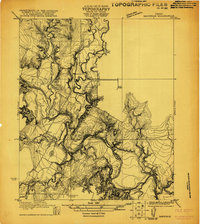
1921 · Maverick
USGS Topo · 1:31,680
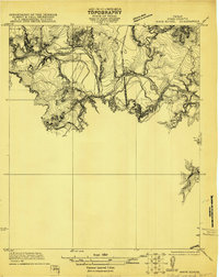
1921 · Mays School
USGS Topo · 1:31,680
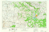
1954 · San Angelo
USGS Topo · 1:250,000
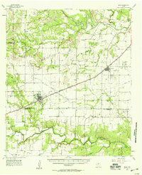
1957 · Miles
USGS Topo · 1:62,500
1957 · Harriet
USGS Topo · 1:62,500
1957 · San Angelo North
USGS Topo · 1:24,000
1958 · San Angelo
USGS Topo · 1:250,000