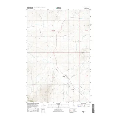
2017 Map of Tensed
USGS Topo · Published 2017About this map
Tensed and the nearby community of De Smet anchor this rural landscape in the northern panhandle, situated near the Benewah Co Latah Co border. The map illustrates a transitional terrain where the heights of Lukwie Mtn overlook the winding drainage systems of Hangman Creek. The settlement pattern is defined by a dense network of local roads that follow the topography, including King Valley Rd and Old Sanders Rd.
Find a feature on this map
40 named features on this map. Tap any name to fly to it.
Don’t see what you’re looking for? This feature index may not catch every label — zoom into the map to look around manually.
Map Details
Editions of this 2017 Tensed Map
This is the sole edition of this map. No revisions or reprints were ever made.
Other maps of this area
1903 · Oakesdale
USGS Topo · 1:125,000
1905 · Oakesdale
USGS Topo · 1:125,000
1954 · Fairfield
USGS Topo · 1:62,500
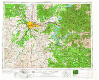
1955 · Spokane
USGS Topo · 1:250,000
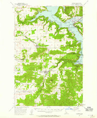
1957 · Plummer
USGS Topo · 1:62,500
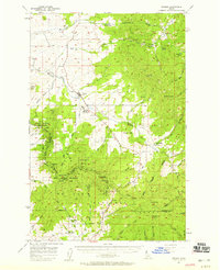
1957 · Tensed
USGS Topo · 1:62,500
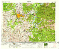
1958 · Spokane
USGS Topo · 1:250,000
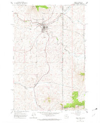
1964 · Tekoa
USGS Topo · 1:24,000
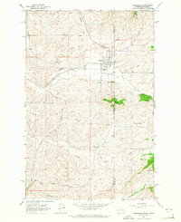
1964 · Farmington
USGS Topo · 1:24,000
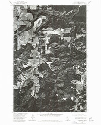
1975 · Plummer SE
USGS Topo · 1:24,000