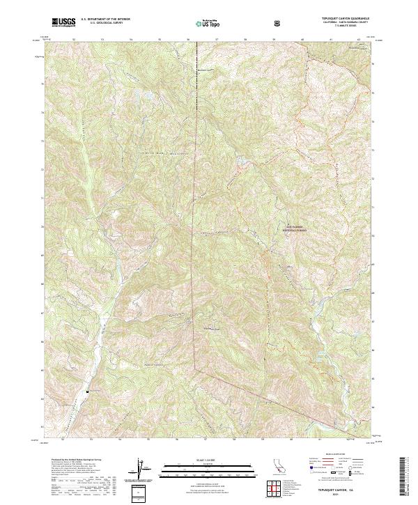
2021 Map of Tepusquet Canyon
USGS Topo · Published 2021About this map
Sierra Madre Mountains terrain dominates this portion of the Los Padres National Forest, where steep canyons and narrow ridgelines define the landscape. The Ontiveros Cem sits near the southern entrance to Tepusquet Canyon, offering a point of interest for genealogists tracing family roots in this corner of Santa Barbara County. Water sources are scattered throughout the high ground, including Cigarette Spring and Peach Tree Spring, which likely served as vital landmarks for early travel and livestock.
Find a feature on this map
46 named features on this map. Tap any name to fly to it.
Don’t see what you’re looking for? This feature index may not catch every label — zoom into the map to look around manually.
Map Details
Editions of this 2021 Tepusquet Canyon Map
This is the sole edition of this map. No revisions or reprints were ever made.
Other maps of this area

1905 · Lompoc
USGS Topo · 1:125,000

1922 · Nipomo
USGS Topo · 1:62,500

1937 · Branch Mtn
USGS Topo · 1:48,000

1942 · Lompoc
USGS Topo · 1:125,000

1942 · Santa Maria
USGS Topo · 1:62,500

1942 · Branch Mountain
USGS Topo · 1:62,500

1942 · Tepusquet Peak
USGS Topo · 1:62,500

1943 · Tepusquet Peak
USGS Topo · 1:62,500

1943 · Lompoc
USGS Topo · 1:125,000

1947 · Careaga Canyon
USGS Topo · 1:24,000