
1971 Map of Terlingua
USGS Topo · Published 1973About this map
Terlingua and Study Butte anchor this desert landscape, captured just as the region’s mercury mining legacy transitioned into the early days of modern tourism. Numerous locations marked Mines and Mine dot the slopes of the Reed Plateau and surrounding peaks, legacies of the Chisos Mining Company era. The infrastructure of this industrial past is visible through labels for an Aerial Tramway and scattered Ruins near the settlements.
Find a feature on this map
46 named features on this map. Tap any name to fly to it.
Don’t see what you’re looking for? This feature index may not catch every label — zoom into the map to look around manually.
Map Details
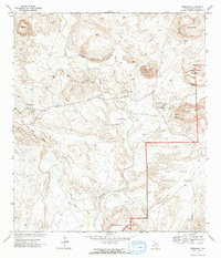
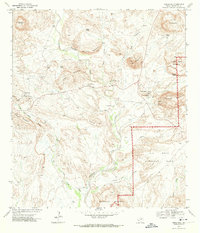
Editions of this 1971 Terlingua Map
3 editions found
Other maps of this area

1903 · Chisos Mountains
USGS Topo · 1:125,000

1903 · Terlingua
USGS Topo · 1:125,000

1904 · Terlingua
USGS Topo · 1:125,000

1905 · Chisos Mountains
USGS Topo · 1:125,000

1959 · Emory Peak
USGS Topo · 1:250,000

1965 · Emory Peak
USGS Topo · 1:250,000

1971 · Yellow Hill
USGS Topo · 1:24,000

1971 · Cerro Castellan
USGS Topo · 1:24,000

1971 · Amarilla Mountain
USGS Topo · 1:24,000
1971 · Christmas Mountians
USGS Topo · 1:24,000