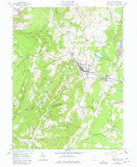
1959 Map of Terra Alta
USGS Topo · Published 1977About this map
Terra Alta stands as the primary hub of this Preston County landscape, situated where the Baltimore and Ohio railroad cuts through the highland terrain. The map details a community defined by its institutional and industrial presence, most notably the State Tuberculosis Sanitarium at Hopemont and a significant High School complex. The rail line is a dominant feature, shown with 3 Tracks through the center of town, supporting the local economy alongside numerous Strip Mines and scattered Gas Wells that dot the hillsides.
Find a feature on this map
56 named features on this map. Tap any name to fly to it.
Don’t see what you’re looking for? This feature index may not catch every label — zoom into the map to look around manually.
Map Details
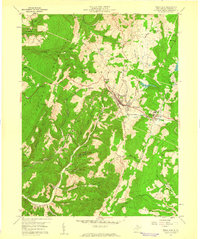
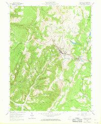
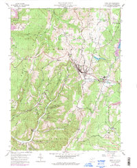
Editions of this 1959 Terra Alta Map
4 editions found
Other maps of this area

1886 · St. George
USGS Topo · 1:125,000

1891 · St. George
USGS Topo · 1:125,000

1895 · Piedmont
USGS Topo · 1:125,000

1899 · Oakland
USGS Topo · 1:62,500

1900 · Accident
USGS Topo · 1:62,500

1900 · Oakland
USGS Topo · 1:62,500

1904 · Bruceton
USGS Topo · 1:62,500
1907 · Kingwood
USGS Topo · 1:62,500
1925 · Kingwood
USGS Topo · 1:62,500
1926 · Bruceton
USGS Topo · 1:62,500