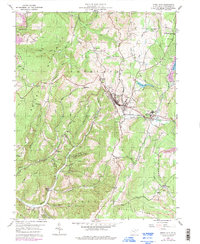
1959 Map of Terra Alta
USGS Topo · Published 1998About this map
Terra Alta serves as the central hub of this Preston County landscape, where the Baltimore and Ohio railroad cuts a critical path through the mountainous terrain of Portland and Union districts. The map documents a specialized local economy and social infrastructure, notably featuring the State Tuberculosis Sanatorium and its accompanying community at Hopemont near the eastern border. To the west, the landscape is defined by industrial extraction and rural life, marked by numerous Gas Wells and active Strip Mines. The high elevations are punctuated by landmarks like the Lookout Tower 3008 and a network of country churches, including Whitedale Ch and Wesley Chapel, which anchored small settlements like Rodemer and Freeport during the mid-20th century.
Find a feature on this map
46 named features on this map. Tap any name to fly to it.
Don’t see what you’re looking for? This feature index may not catch every label — zoom into the map to look around manually.
Map Details
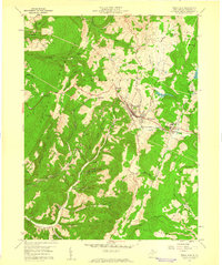
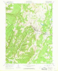
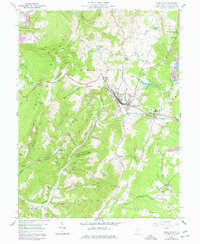
Editions of this 1959 Terra Alta Map
4 editions found
Other maps of this area

1886 · St. George
USGS Topo · 1:125,000

1891 · St. George
USGS Topo · 1:125,000

1895 · Piedmont
USGS Topo · 1:125,000

1899 · Oakland
USGS Topo · 1:62,500

1900 · Accident
USGS Topo · 1:62,500

1900 · Oakland
USGS Topo · 1:62,500

1904 · Bruceton
USGS Topo · 1:62,500

1907 · Kingwood
USGS Topo · 1:62,500

1925 · Kingwood
USGS Topo · 1:62,500

1926 · Bruceton
USGS Topo · 1:62,500