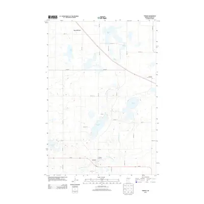
2013 Map of Terrace
USGS Topo · Published 2013About this map
Terrace sits along the southern edge of this West Central Minnesota landscape, defined by the winding course of the E Br Chippewa River. The topography is a complex network of glacial depressional features, including significant water bodies such as Swenoda Lake, Round Lake, and State Lake. The river's path is interrupted by the Marlu Millpond to the north, suggesting historical water-power utilization near Marlu Lake.
Find a feature on this map
37 named features on this map. Tap any name to fly to it.
Don’t see what you’re looking for? This feature index may not catch every label — zoom into the map to look around manually.
Map Details
Editions of this 2013 Terrace Map
This is the sole edition of this map. No revisions or reprints were ever made.
Other maps of this area

1953 · Saint Cloud
USGS Topo · 1:250,000
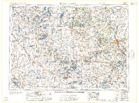
1957 · Saint Cloud
USGS Topo · 1:250,000
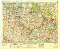
1958 · Saint Cloud
USGS Topo · 1:250,000
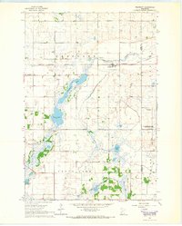
1965 · Westport
USGS Topo · 1:24,000
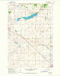
1965 · Sedan
USGS Topo · 1:24,000
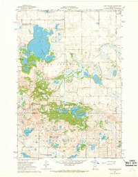
1967 · Lake Johanna
USGS Topo · 1:24,000
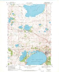
1968 · Glenwood
USGS Topo · 1:24,000
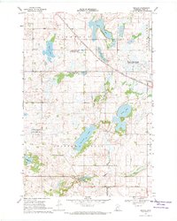
1968 · Terrace
USGS Topo · 1:24,000
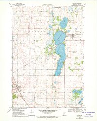
1968 · Villard
USGS Topo · 1:24,000
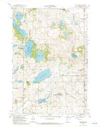
1968 · Lake Simon
USGS Topo · 1:24,000