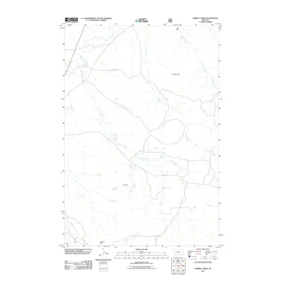
2011 Map of Terrell Creek
USGS Topo · Published 2011About this map
H S Creek and its many tributaries carve through this high plains landscape on the eastern edge of the Ekalaka Hills. This 2011 survey reveals an environment defined by scarce water sources, where named springs like Flasted Spring, Red Hill Spring, and Sinrud Spring serve as critical landmarks for land management. The terrain is punctuated by distinctive geological features such as Chimney Rock and Red Hill, while the Zelzo Dam in the north indicates the effort to manage seasonal runoff. Human infrastructure is primarily limited to rural routes like Hunter Run Rd and Mill Iron Rd, which navigate the drainage basins of Little Beaver Creek and Terrell Creek, illustrating the wide-open ranching character of this corner of Montana.
Find a feature on this map
18 named features on this map. Tap any name to fly to it.
Don’t see what you’re looking for? This feature index may not catch every label — zoom into the map to look around manually.
Map Details
Editions of this 2011 Terrell Creek Map
This is the sole edition of this map. No revisions or reprints were ever made.
Other maps of this area

1953 · Miles City
USGS Topo · 1:250,000

1954 · Ekalaka
USGS Topo · 1:250,000

1956 · Ekalaka
USGS Topo · 1:250,000

1957 · Miles City
USGS Topo · 1:250,000

1958 · Miles City
USGS Topo · 1:250,000

1958 · Ekalaka
USGS Topo · 1:250,000

1965 · Ekalaka
USGS Topo · 1:250,000

1979 · Ekalaka
USGS Topo · 1:24,000

1980 · Camp Needmore
USGS Topo · 1:24,000

1980 · Dutchmans Hill
USGS Topo · 1:24,000