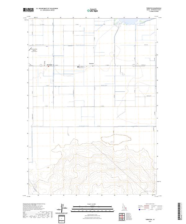
2023 Map of Terreton
USGS Topo · Published 2023About this map
Mud Lake and Terreton serve as the primary hubs in this agricultural landscape of Jefferson County. The region is defined by a sophisticated water management system designed for high-desert cultivation, featuring the Owsley Canal, Crystal Lake Canal, and Second Owsley Canal. These man-made waterways transition from the structured grid of the northern farmland into the more varied topography found south of E 1200 N.
Find a feature on this map
19 named features on this map. Tap any name to fly to it.
Don’t see what you’re looking for? This feature index may not catch every label — zoom into the map to look around manually.
Map Details
Editions of this 2023 Terreton Map
This is the sole edition of this map. No revisions or reprints were ever made.
Other maps of this area

1955 · Idaho Falls
USGS Topo · 1:250,000

1958 · Idaho Falls
USGS Topo · 1:250,000

1964 · Kettle Butte NE
USGS Topo · 1:24,000

1964 · Kettle Butte NW
USGS Topo · 1:24,000

1964 · Terreton
USGS Topo · 1:24,000

1964 · Mud Lake SE
USGS Topo · 1:24,000

1964 · Mud Lake NW
USGS Topo · 1:24,000

1964 · Rays Lake
USGS Topo · 1:24,000

1969 · Antelope Butte
USGS Topo · 1:24,000
1969 · Monteview
USGS Topo · 1:24,000