
1964 Map of Mud Lake SE
USGS Topo · Published 1966About this map
Agricultural development and water management define this Jefferson County landscape during the mid-1960s. The presence of the Owsley Canal and a secondary Canal system indicates the transformation of the high desert through irrigation, supported by a network of infrastructure including a Pumping Station and a Substation. The map reveals a transition between engineered farmland and the more irregular natural topography to the east.
Find a feature on this map
10 named features on this map. Tap any name to fly to it.
Don’t see what you’re looking for? This feature index may not catch every label — zoom into the map to look around manually.
Map Details
Editions of this 1964 Mud Lake SE Map
This is the sole edition of this map. No revisions or reprints were ever made.
Other maps of this area

1949 · Roberts
USGS Topo · 1:62,500

1949 · Roberts
USGS Topo · 1:24,000

1950 · Roberts
USGS Topo · 1:24,000

1955 · Idaho Falls
USGS Topo · 1:250,000

1958 · Idaho Falls
USGS Topo · 1:250,000

1964 · Kettle Butte NE
USGS Topo · 1:24,000

1964 · Kettle Butte NW
USGS Topo · 1:24,000

1964 · Terreton
USGS Topo · 1:24,000
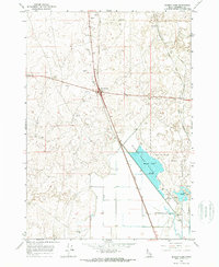
1964 · Market Lake
USGS Topo · 1:24,000
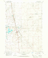
1964 · Hamer
USGS Topo · 1:24,000