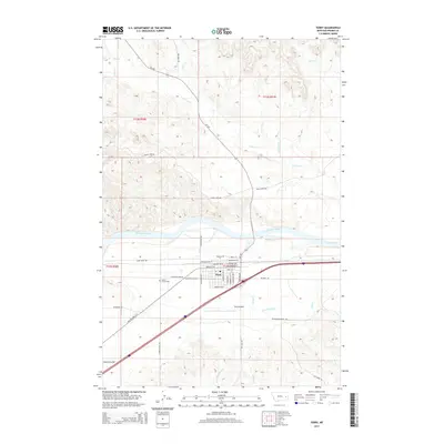
2014 Map of Terry
USGS Topo · Published 2014About this map
The Yellowstone River cuts through this Eastern Montana landscape, anchoring the settlement of Terry in Prairie County. The town site is structured by a grid of local streets including Montana Blvd, Spring St E, and Laundre Ave W, situated just south of the river's path. Evidence of the region's agricultural and transportation infrastructure is clear, from the Terry Main Canal feeding local fields to the path of the Milwaukee Rd and Old Highway 10 W running parallel to modern transit corridors.
Find a feature on this map
50 named features on this map. Tap any name to fly to it.
Don’t see what you’re looking for? This feature index may not catch every label — zoom into the map to look around manually.
Map Details
Editions of this 2014 Terry Map
This is the sole edition of this map. No revisions or reprints were ever made.
Other maps of this area
1953 · Miles City
USGS Topo · 1:250,000
1957 · Miles City
USGS Topo · 1:250,000
1958 · Miles City
USGS Topo · 1:250,000
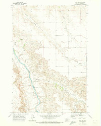
1969 · Zero NE
USGS Topo · 1:24,000
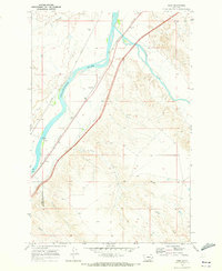
1969 · Zero
USGS Topo · 1:24,000
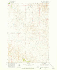
1969 · Flat Top Butte
USGS Topo · 1:24,000
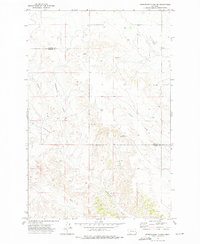
1972 · Hendrickson Coulee
USGS Topo · 1:24,000
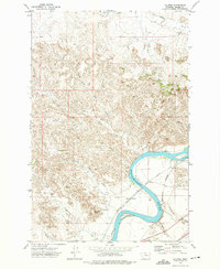
1972 · Calypso
USGS Topo · 1:24,000
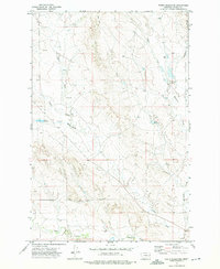
1972 · Papps Reservoir
USGS Topo · 1:24,000
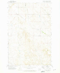
1972 · Diamond G Creek
USGS Topo · 1:24,000