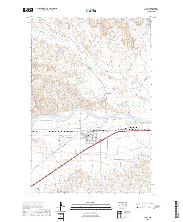
2024 Map of Terry
USGS Topo · Published 2024About this map
Terry serves as a vital point of intersection where the Yellowstone River and early overland routes meet in eastern Montana. This map reveals a community defined by its proximity to the water and its role as a county seat, anchored by the Prairie County Courthouse. The layout of the town follows a grid of residential and commercial streets such as Milwaukee St and Montana Blvd, while the surrounding landscape is marked by the irrigation infrastructure of the Terry Main Canal. Beyond the town center, the terrain is shaped by numerous seasonal watercourses including Cherry Creek and Conns Coulee, which cut through the high plains. The presence of the Prairie County Cem and Terry Airport on the outskirts reflects the long-standing community footprint and local transport history. Researchers can trace the legacy of regional development through the network of historic routes like W Old Highway 10 and Cemetery Loop Rd.
Find a feature on this map
44 named features on this map. Tap any name to fly to it.
Don’t see what you’re looking for? This feature index may not catch every label — zoom into the map to look around manually.
Map Details
Editions of this 2024 Terry Map
This is the sole edition of this map. No revisions or reprints were ever made.
Other maps of this area

1953 · Miles City
USGS Topo · 1:250,000

1957 · Miles City
USGS Topo · 1:250,000

1958 · Miles City
USGS Topo · 1:250,000

1969 · Zero NE
USGS Topo · 1:24,000

1969 · Zero
USGS Topo · 1:24,000

1969 · Flat Top Butte
USGS Topo · 1:24,000

1972 · Hendrickson Coulee
USGS Topo · 1:24,000

1972 · Calypso
USGS Topo · 1:24,000

1972 · Papps Reservoir
USGS Topo · 1:24,000

1972 · Diamond G Creek
USGS Topo · 1:24,000