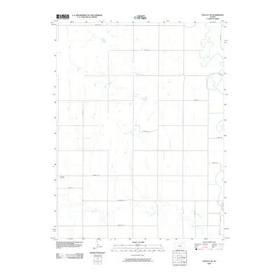
2009 Map of Tescott NE
USGS Topo · Published 2009About this map
Solomon River meanders through the northeastern corner of this Ottawa County landscape, defining the local drainage alongside several significant tributaries. The terrain is marked by the distinct paths of Lost Creek, Limestone Creek, and Salt Creek, which create a network of riparian corridors across the agricultural plains. This 2009 digital survey illustrates a rigid grid of rural infrastructure, where road names such as Postrock Rd, Treaty Rd, and Pioneer Rd hint at the cultural and geologic history of this Kansas region. For genealogists, the Fairview Cemetery stands as a primary landmark in the western portion of the quadrangle. The map captures the quiet intersection of natural watercourses and the established section-line roads that have organized this landscape for generations.
Find a feature on this map
21 named features on this map. Tap any name to fly to it.
Don’t see what you’re looking for? This feature index may not catch every label — zoom into the map to look around manually.
Map Details
Editions of this 2009 Tescott NE Map
This is the sole edition of this map. No revisions or reprints were ever made.
Other maps of this area
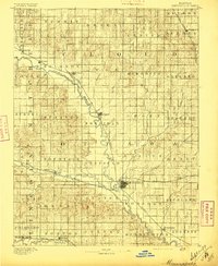
1892 · Minneapolis
USGS Topo · 1:125,000
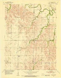
1952 · Glasco SW
USGS Topo · 1:24,000
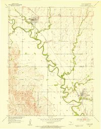
1952 · Glasco
USGS Topo · 1:24,000

1955 · Manhattan
USGS Topo · 1:250,000
1956 · Manhattan
USGS Topo · 1:250,000
1957 · Manhattan
USGS Topo · 1:250,000
1961 · Tescott NE
USGS Topo · 1:24,000
1964 · Ada
USGS Topo · 1:24,000
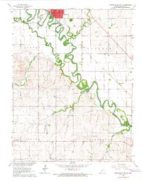
1965 · Minneapolis South
USGS Topo · 1:24,000
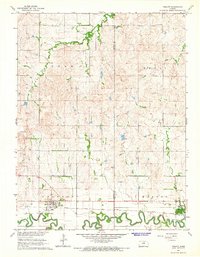
1965 · Tescott
USGS Topo · 1:24,000