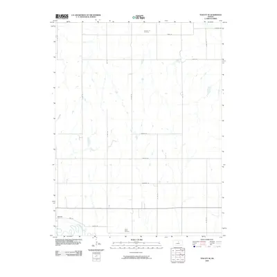
2009 Map of Tescott SE
USGS Topo · Published 2009About this map
The Saline River winds through the southwestern corner of this landscape, just south of the settlement of Tescott. This area of Ottawa County is characterized by a precise grid of section roads that define the agricultural character of the plains. For genealogists and local historians, the presence of Pleasant Hill Cemetery in the north and Culver Union Cemetery near the southern border provides essential touchstones for family research. The road names themselves, such as Landmark Rd, Frontier Rd, and Dakota Rd, reflect the regional identity and historical expansion into the Kansas territory. This survey captures the rural infrastructure of the early 21st century, showing the steady placement of farmsteads and the critical water access provided by the river and its drainage patterns.
Find a feature on this map
19 named features on this map. Tap any name to fly to it.
Don’t see what you’re looking for? This feature index may not catch every label — zoom into the map to look around manually.
Map Details
Editions of this 2009 Tescott SE Map
This is the sole edition of this map. No revisions or reprints were ever made.
Other maps of this area

1892 · Salina
USGS Topo · 1:125,000

1892 · Minneapolis
USGS Topo · 1:125,000

1942 · Salina
USGS Topo · 1:125,000

1955 · Trenton
USGS Topo · 1:24,000

1955 · Culver
USGS Topo · 1:24,000

1955 · Manhattan
USGS Topo · 1:250,000

1955 · Hutchinson
USGS Topo · 1:250,000

1956 · Manhattan
USGS Topo · 1:250,000

1957 · Manhattan
USGS Topo · 1:250,000

1959 · Hutchinson
USGS Topo · 1:250,000