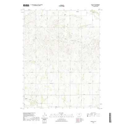
2018 Map of Tescott SE
USGS Topo · Published 2018About this map
The Saline River cuts through the southwestern corner of this landscape, just south of the community of Tescott. This area of Ottawa County is defined by a rigorous grid of section-line roads, such as Kiowa Rd and Evergreen Rd, that organize the agricultural terrain. Small rural landmarks provide critical orientation for local historians and genealogists, including Pleasant Hill Cem in the north and Culver Union Cem near the southern boundary. To the northeast, Salt Cr meanders through the corner of the map near the settlement of Brewer. The layout of the roads and the positioning of these burial grounds relative to the river and creeks illustrate a settlement pattern dictated by water access and the systematic division of the Kansas prairie.
Find a feature on this map
29 named features on this map. Tap any name to fly to it.
Don’t see what you’re looking for? This feature index may not catch every label — zoom into the map to look around manually.
Map Details
Editions of this 2018 Tescott SE Map
This is the sole edition of this map. No revisions or reprints were ever made.
Other maps of this area

1892 · Salina
USGS Topo · 1:125,000

1892 · Minneapolis
USGS Topo · 1:125,000

1942 · Salina
USGS Topo · 1:125,000

1955 · Trenton
USGS Topo · 1:24,000

1955 · Culver
USGS Topo · 1:24,000

1955 · Manhattan
USGS Topo · 1:250,000

1955 · Hutchinson
USGS Topo · 1:250,000

1956 · Manhattan
USGS Topo · 1:250,000

1957 · Manhattan
USGS Topo · 1:250,000

1959 · Hutchinson
USGS Topo · 1:250,000