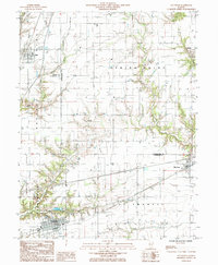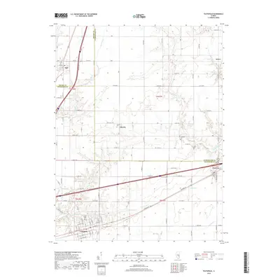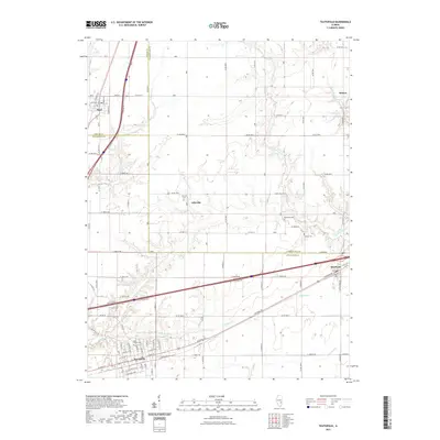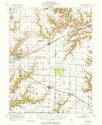
1953 Map of Teutopolis
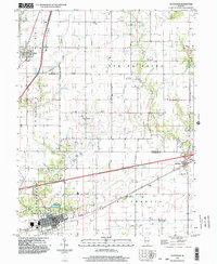
USGS Topo · Published 1972About this map
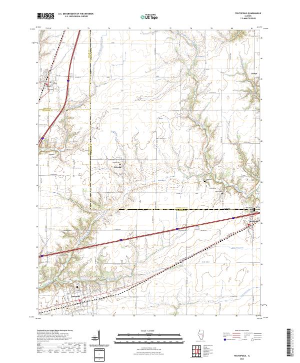
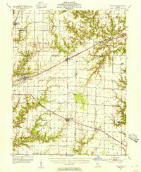
Teutopolis and its surrounding prairie townships emerge as a network of rail-side settlements and rural school districts in the early 1950s. The landscape is defined by the heavy rail corridors of the Illinois Central and the Pennsylvania railroads, which facilitated the growth of centers like Dieterich, Wheeler, and Montrose. This survey captures a specific era of local education and faith, documenting numerous small institutions such as Plain Tree Sch, Maple Grove Sch, and St Pauls Ch that served the agricultural community before widespread consolidation.
Find a feature on this map
67 named features on this map. Tap any name to fly to it.
Don’t see what you’re looking for? This feature index may not catch every label — zoom into the map to look around manually.
Map Details
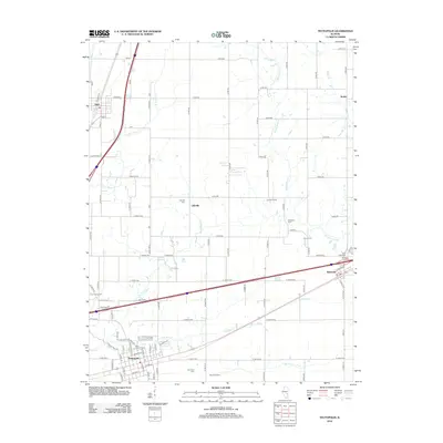
Editions of this 1953 Teutopolis Map
2 editions found
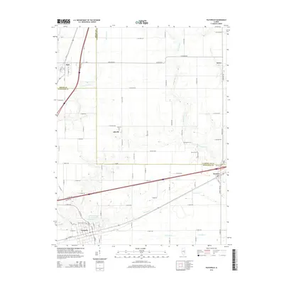
Historical Maps of Teutopolis Through Time
8 maps found