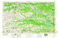
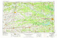
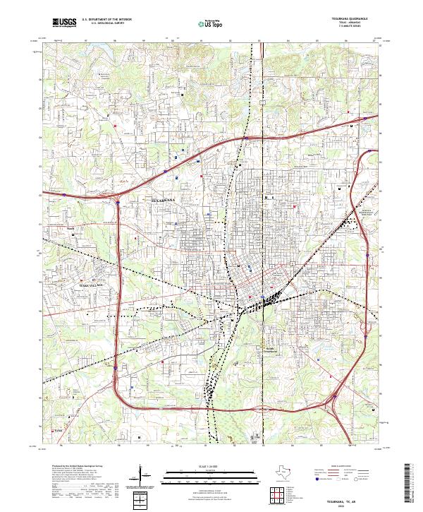
1953 Map of Texarkana
USGS Topo · Published 1966About this map
The Red River carves a winding path through the borderlands of Texas, Oklahoma, and Arkansas, serving as the defining geographical feature for this regional survey. The landscape is a network of small settlements and industrial-military complexes, most notably the Lone Star Ordnance Plant and the adjacent Red River Arsenal west of Texarkana. These massive facilities, alongside the now Camp Maxey Military Reservation (Abandoned) near Paris, reflect the era's significant defense footprint in the Ark-La-Tex region.
Find a feature on this map
139 named features on this map. Tap any name to fly to it.
Don’t see what you’re looking for? This feature index may not catch every label — zoom into the map to look around manually.
Map Details
Editions of this 1953 Texarkana Map
4 editions found

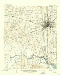
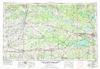
Historical Maps of Texarkana Through Time
13 maps found
1909 Texarkana
Bowie County, TX
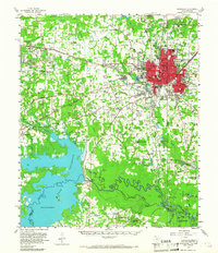
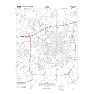
1953 Texarkana
Bowie County, TX
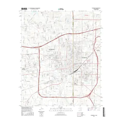
1954 Texarkana
Bowie County, TX
1954 Texarkana
Bowie County, TX

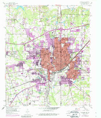
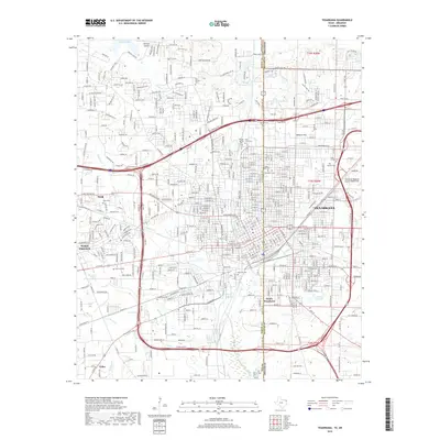
1956 Texarkana
Bowie County, TX

1986 Texarkana
Bowie County, TX

1992 Texarkana
Bowie County, TX
2001 Texarkana
Bowie County, TX
2011 Texarkana
Bowie County, TX
2013 Texarkana
Bowie County, TX
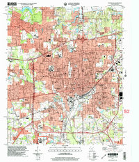
2016 Texarkana
Bowie County, TX
2019 Texarkana
Bowie County, TX
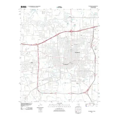
2022 Texarkana
Bowie County, TX