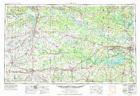
1953 Map of Texarkana
USGS Topo · Published 1974About this map
The Red River and Sulphur River dominate this 1970s landscape, winding through a complex of counties across Texas, Arkansas, and Oklahoma. Large-scale water management projects are evident in the presence of Pat Mayse Lake, Millwood Lake, and Wright Patman Lake, which restructured the hydrology of the river valleys during this period. The eastern portion of the map is defined by the massive defense footprint of the Red River Army Ammunition Plant and Lone Star Army Ammunition Plant, positioned just west of Texarkana.
Find a feature on this map
197 named features on this map. Tap any name to fly to it.
Don’t see what you’re looking for? This feature index may not catch every label — zoom into the map to look around manually.
Map Details
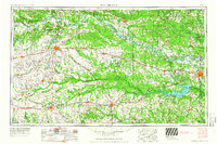
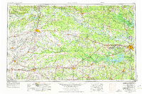
Editions of this 1953 Texarkana Map
4 editions found

Other maps of this area

1899 · Atoka
USGS Topo · 1:125,000

1900 · Atoka
USGS Topo · 1:125,000

1901 · Antlers
USGS Topo · 1:125,000

1901 · Alikchi
USGS Topo · 1:125,000

1902 · Lukfata
USGS Topo · 1:125,000

1903 · Paris
USGS Topo · 1:125,000

1906 · Caddo Gap
USGS Topo · 1:125,000

1907 · Atlanta
USGS Topo · 1:62,500

1909 · New Boston
USGS Topo · 1:62,500

1909 · Texarkana
USGS Topo · 1:62,500