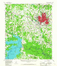
1954 Map of Texarkana
USGS Topo · Published 1967About this map
Texarkana dominates the landscape of this mid-century survey, its urban core straddling the Texas Arkansas border at a major junction for the Missouri Pacific and Kansas City Southern railroads. To the west, the massive Red River Arsenal and the Federal Correctional Institution represent a significant federal and industrial presence that shaped the local economy. The mapping of Texarkana Lake and the Texarkana Dam illustrates the transformation of the Sulphur River basin, showing the controlled inundation areas and numerous sloughs like Gum Ridge Slough and Methvin Slough. Rural life is meticulously documented through local landmarks such as the Bowie County Vocational Sch and dozens of family-named cemeteries and churches, including Moores Chapel and Carpenter Cem, which provide essential touchpoints for genealogical research in this border region.
Find a feature on this map
97 named features on this map. Tap any name to fly to it.
Don’t see what you’re looking for? This feature index may not catch every label — zoom into the map to look around manually.
Map Details
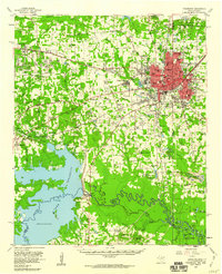
Editions of this 1954 Texarkana Map
2 editions found
Other maps of this area

1907 · Atlanta
USGS Topo · 1:62,500

1909 · New Boston
USGS Topo · 1:62,500

1909 · Texarkana
USGS Topo · 1:62,500

1910 · Linden
USGS Topo · 1:62,500

1910 · Atlanta
USGS Topo · 1:62,500

1950 · Redbank
USGS Topo · 1:24,000

1950 · Ogden
USGS Topo · 1:24,000

1950 · Barkman
USGS Topo · 1:24,000

1951 · Redbank
USGS Topo · 1:24,000

1951 · Ogden
USGS Topo · 1:24,000