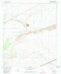
1965 Map of Texas Hill
USGS Topo · Published 1982About this map
Texas Hill stands as a prominent landmark in this desert landscape, overlooking the managed waters of the Gila River and the agricultural efforts represented by the Texas Hill Canal. The influence of the Southern Pacific railroad is evident, cutting diagonally across the terrain to connect remote desert outposts like Stoval. To the south, the vast expanse of the San Cristobal Valley and the San Cristobal Wash define the topography, where natural drainage patterns meet human infrastructure like 2D Street North and East Ave 56.
Find a feature on this map
19 named features on this map. Tap any name to fly to it.
Don’t see what you’re looking for? This feature index may not catch every label — zoom into the map to look around manually.
Map Details
Editions of this 1965 Texas Hill Map
3 editions found
Other maps of this area

1926 · Mohawk
USGS Topo · 1:62,500

1927 · Kim
USGS Topo · 1:62,500

1928 · Mohawk
USGS Topo · 1:62,500

1928 · Norton
USGS Topo · 1:62,500

1929 · Norton
USGS Topo · 1:62,500

1930 · Stoval
USGS Topo · 1:62,500

1931 · Kim
USGS Topo · 1:62,500

1950 · Stoval
USGS Topo · 1:62,500

1953 · Ajo
USGS Topo · 1:250,000

1955 · Growler
USGS Topo · 1:24,000