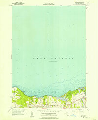
1955 Map of Texas
USGS Topo · Published 1957About this map
The shoreline of Mexico Bay dominates this mid-1950s survey, revealing a landscape defined by seasonal settlements and the natural drainage of the Oswego County coast. Small residential and vacation pockets such as Shore Oaks, Pleasant Pt, and Demster Beach line the southern edge of Lake Ontario, linked by the inland North Road. To the east, the Little Salmon River flows past the small hamlet of Texas before entering the lake near the Spy Island Historical Site. This area preserves a snapshot of the region's hydrography before significant modern development, showing the expansive Butterfly Swamp and the mouths of local waterways like Catfish Creek and Otter Branch. The topography illustrates the transition from the lake's depths—documented here with soundings—to the low-lying wetlands and points of land like Ninemile Pt and Mexico Pt.
Find a feature on this map
18 named features on this map. Tap any name to fly to it.
Don’t see what you’re looking for? This feature index may not catch every label — zoom into the map to look around manually.
Map Details
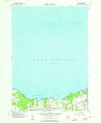
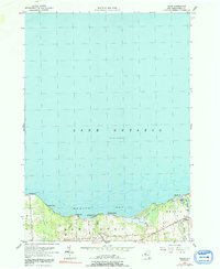
Editions of this 1955 Texas Map
3 editions found
Other maps of this area

1895 · Pulaski
USGS Topo · 1:62,500

1900 · Fulton
USGS Topo · 1:62,500

1905 · Mexico
USGS Topo · 1:62,500

1943 · Pulaski
USGS Topo · 1:31,680

1943 · Oswego East
USGS Topo · 1:31,680

1943 · New Haven
USGS Topo · 1:31,680

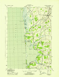
1943 · Texas
USGS Topo · 1:31,680

1943 · Mexico
USGS Topo · 1:31,680
1943 · Ellisburg
USGS Topo · 1:31,680

1943 · West Of Texas
USGS Topo · 1:31,680