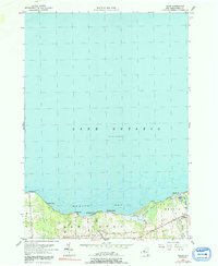
1955 Map of Texas
USGS Topo · Published 1992About this map
Mexico Bay and the shoreline of Lake Ontario dominate this mid-century survey of the New York coast, revealing a landscape defined by seasonal lakeside settlements and low-lying wetlands. Small shoreline clusters like Shore Oaks, Pleasant Point, and Demster Beach are connected by the inland North Road, which skirts the edge of Butterfly Swamp. Near the mouth of the Little Salmon River, the Spy Island Historical Site marks a point of local significance at Mexico Point. The interior shows the transition from the lakeside hamlet of Texas to the rural townships of Scriba and New Haven, characterized by winding creeks like Catfish Creek and Otter Branch that feed into the bay. This document preserves the late-period planetable mapping of the Oswego County shoreline before modern residential expansion altered the character of these historic summer landings.
Find a feature on this map
21 named features on this map. Tap any name to fly to it.
Don’t see what you’re looking for? This feature index may not catch every label — zoom into the map to look around manually.
Map Details
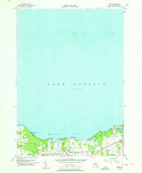
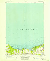
Editions of this 1955 Texas Map
3 editions found
Other maps of this area

1895 · Pulaski
USGS Topo · 1:62,500

1900 · Fulton
USGS Topo · 1:62,500

1905 · Mexico
USGS Topo · 1:62,500

1943 · Pulaski
USGS Topo · 1:31,680

1943 · Oswego East
USGS Topo · 1:31,680

1943 · New Haven
USGS Topo · 1:31,680

1943 · Texas
USGS Topo · 1:31,680

1943 · Mexico
USGS Topo · 1:31,680
1943 · Ellisburg
USGS Topo · 1:31,680

1943 · West Of Texas
USGS Topo · 1:31,680