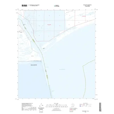
2022 Map of Texas Point
USGS Topo · Published 2022About this map
Sabine stands as the primary outpost on this coastal survey, positioned where the Sabine Pass waterway connects the internal bayous to the Gulf of Mexico. The landscape is dominated by the intricate transition between land and sea, marked by tidal features such as Mud Lake and Texas Bayou. The strategic maritime importance of the area is evident in the engineered deep-water infrastructure, including the Anchorage Basin, Jetty Channel, and Outer Bar Channel, which facilitate traffic for Port Arthur. On the eastern side of the state boundary, the terrain rises slightly at Hackberry Ridge, while the shorelines of Texas Point and Louisiana Point define the entrance to the pass. This modern survey illustrates the persistent industrial and navigational focus of this border region, where Lighthouse Bayou and Pass Channel snake through a complex system of wetlands and coastal marshes.
Find a feature on this map
21 named features on this map. Tap any name to fly to it.
Don’t see what you’re looking for? This feature index may not catch every label — zoom into the map to look around manually.
Map Details
Editions of this 2022 Texas Point Map
This is the sole edition of this map. No revisions or reprints were ever made.
Other maps of this area

1932 · Sabine Pass NE
USGS Topo · 1:31,680

1934 · Johnsons Bayou
USGS Topo · 1:24,000

1935 · Johnsons Bayou
USGS Topo · 1:31,680

1943 · West of Johnson Bayou
USGS Topo · 1:24,000

1943 · Port Arthur South
USGS Topo · 1:24,000

1944 · Sabine Pass
USGS Topo · 1:31,680

1944 · Texas Point
USGS Topo · 1:31,680
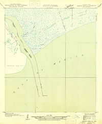
1946 · Sabine Pass NE
USGS Topo · 1:31,680
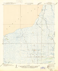
1946 · Port Arthur SE
USGS Topo · 1:31,680

1954 · Port Arthur
USGS Topo · 1:250,000