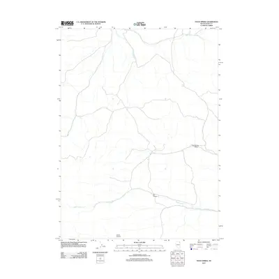
2012 Map of Texas Spring
USGS Topo · Published 2012About this map
Texas Spring and Opal Spring serve as the primary hydrologic landmarks in this arid section of Elko County. The landscape is defined by its drainage patterns, with Sulphur Creek cutting through the southern half of the quadrangle and Trout Creek and Cave Creek traversing the northern reaches. This 2012 survey illustrates a topography shaped by erosion, with deep incisions like Texas Spring Canyon and Bell Canyon marking the terrain. A simple road network winds through the canyons and high points, connecting these water sources to the surrounding desert. In the southwest, the named drainage of Corral Canyon indicates historical land use patterns tied to ranching and livestock management in the Great Basin.
Find a feature on this map
8 named features on this map. Tap any name to fly to it.
Don’t see what you’re looking for? This feature index may not catch every label — zoom into the map to look around manually.
Map Details
Editions of this 2012 Texas Spring Map
This is the sole edition of this map. No revisions or reprints were ever made.
Other maps of this area

1955 · Wells
USGS Topo · 1:250,000

1957 · Delaplain
USGS Topo · 1:62,500

1958 · Wells
USGS Topo · 1:250,000

1961 · Wells
USGS Topo · 1:250,000

1961 · Delano Mountains
USGS Topo · 1:62,500

1961 · Gollaher Mountain
USGS Topo · 1:62,500

1968 · Knoll Mountain
USGS Topo · 1:24,000

1968 · Knoll Mountain SE
USGS Topo · 1:24,000

1968 · Blanchard Mtn
USGS Topo · 1:24,000

1968 · Texas Spring
USGS Topo · 1:24,000