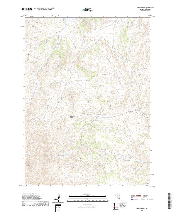
2021 Map of Texas Spring
USGS Topo · Published 2021About this map
Texas Spring and the associated Texas Spring Canyon characterize this remote corner of Elko County, where the high desert terrain transitions between several prominent mountain groups. To the north, the Toana John Mountains rise above the drainage of Trout Cr, while the southern reaches of the map are defined by the elevations of Knoll Mtn and the beginning of the H D Range. The landscape is punctuated by vital water sources in an otherwise arid environment, including Opal Spring and the seasonal flows of Sulphur Cr and Bell Canyon. This 2021 update from the U.S. Geological Survey documents the intersection of several townships, including T44N R65E and T43N R66E, reflecting the enduring township-and-range surveying system that still governs land management in the Great Basin.
Find a feature on this map
15 named features on this map. Tap any name to fly to it.
Don’t see what you’re looking for? This feature index may not catch every label — zoom into the map to look around manually.
Map Details
Editions of this 2021 Texas Spring Map
This is the sole edition of this map. No revisions or reprints were ever made.
Other maps of this area

1955 · Wells
USGS Topo · 1:250,000

1957 · Delaplain
USGS Topo · 1:62,500

1958 · Wells
USGS Topo · 1:250,000

1961 · Wells
USGS Topo · 1:250,000

1961 · Delano Mountains
USGS Topo · 1:62,500

1961 · Gollaher Mountain
USGS Topo · 1:62,500

1968 · Knoll Mountain
USGS Topo · 1:24,000

1968 · Knoll Mountain SE
USGS Topo · 1:24,000

1968 · Blanchard Mtn
USGS Topo · 1:24,000

1968 · Texas Spring
USGS Topo · 1:24,000