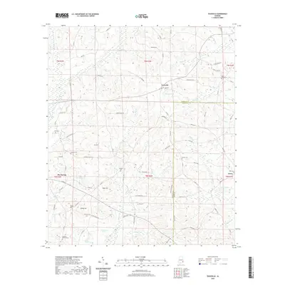
2020 Map of Texasville
USGS Topo · Published 2020About this map
The W Fork Choctawhatchee River and its numerous tributaries, including Lindsey Cr and Wallace Cr, define the drainage patterns of this corner of southeast Alabama. Small rural communities like Texasville and Edwin serve as central nodes for the surrounding agricultural lands and timber tracts. The landscape is dotted with family and community burial grounds, such as Adams Chapel Cem and Prospect Cem, which provide significant anchor points for local genealogical research. Distinctive elevations rise above the creek bottoms, including Joe Hill and Walker Hill, while the Barbour Co and Henry Co boundary line bisects the southern half of the quadrangle. Transport is largely managed via a network of county roads like Browns Mill Rd and Gordan Helms Rd, connecting isolated farmsteads to the larger settlements.
Find a feature on this map
93 named features on this map. Tap any name to fly to it.
Don’t see what you’re looking for? This feature index may not catch every label — zoom into the map to look around manually.
Map Details
Editions of this 2020 Texasville Map
This is the sole edition of this map. No revisions or reprints were ever made.
Other maps of this area

1953 · Dothan
USGS Topo · 1:250,000

1954 · Dothan
USGS Topo · 1:250,000

1955 · Dothan
USGS Topo · 1:250,000

1967 · Clayton South
USGS Topo · 1:24,000

1968 · Baker Hill
USGS Topo · 1:24,000

1968 · Louisville
USGS Topo · 1:24,000

1969 · Abbeville West
USGS Topo · 1:24,000
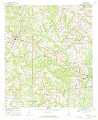
1969 · Clio
USGS Topo · 1:24,000
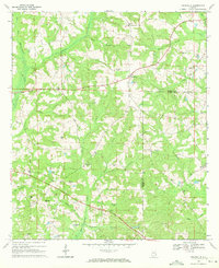
1969 · Texasville
USGS Topo · 1:24,000
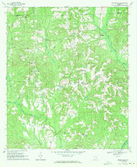
1969 · Skipperville
USGS Topo · 1:24,000