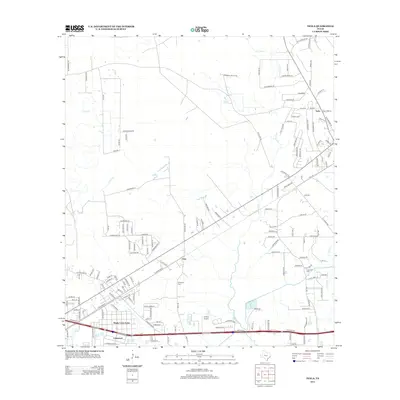
2012 Map of Texla
USGS Topo · Published 2012About this map
Cow Bayou winds through this East Texas landscape, defining the local geography as it flows past the small settlement of Texla. The area reflects a mix of rural land and growing residential pockets like Maple Crest Acres and Lakewood near the southern boundary. Local family histories are anchored by sites such as Singleton Cem and Linscomb Cem, while the aviation needs of the community are served by Jenkins Airport. The map highlights a transition from open terrain and creek drainages like Tiger Cr and Caney Cr to a more developed road network. Claiborne Park provides a public recreational space along the bayou, while the crossroads at Doty further inland serves as a waypoint between the established rural tracts and the expanding residential outskirts of Orange County.
Find a feature on this map
153 named features on this map. Tap any name to fly to it.
Don’t see what you’re looking for? This feature index may not catch every label — zoom into the map to look around manually.
Map Details
Editions of this 2012 Texla Map
This is the sole edition of this map. No revisions or reprints were ever made.
Other maps of this area

1926 · Terry
USGS Topo · 1:24,000

1926 · Lakeview
USGS Topo · 1:24,000

1926 · Vidor
USGS Topo · 1:24,000

1926 · Texla
USGS Topo · 1:24,000

1926 · Mauriceville
USGS Topo · 1:24,000

1932 · Beaumont
USGS Topo · 1:62,500

1943 · Orangefield
USGS Topo · 1:24,000

1943 · Mauriceville
USGS Topo · 1:24,000

1943 · Terry
USGS Topo · 1:24,000

1943 · Texla
USGS Topo · 1:24,000