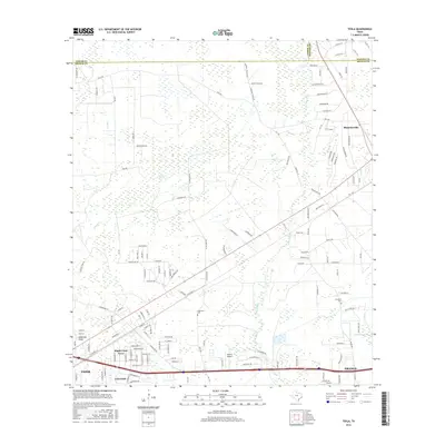
2016 Map of Texla
USGS Topo · Published 2016About this map
Mauriceville and the northern outskirts of Vidor define the landscape of this 2016 survey, where the low-lying terrain of the coastal plain is marked by intricate drainage systems. The meandering path of Cow Bayou and the expansive Sawgrass Marsh highlight the area's hydrological character, while Anderson Gully and Tiger Creek carve through the woodland and residential developments.
Find a feature on this map
144 named features on this map. Tap any name to fly to it.
Don’t see what you’re looking for? This feature index may not catch every label — zoom into the map to look around manually.
Map Details
Editions of this 2016 Texla Map
This is the sole edition of this map. No revisions or reprints were ever made.
Other maps of this area

1926 · Terry
USGS Topo · 1:24,000

1926 · Lakeview
USGS Topo · 1:24,000

1926 · Vidor
USGS Topo · 1:24,000

1926 · Texla
USGS Topo · 1:24,000

1926 · Mauriceville
USGS Topo · 1:24,000

1932 · Beaumont
USGS Topo · 1:62,500

1943 · Orangefield
USGS Topo · 1:24,000

1943 · Mauriceville
USGS Topo · 1:24,000

1943 · Terry
USGS Topo · 1:24,000

1943 · Texla
USGS Topo · 1:24,000