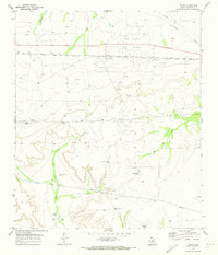
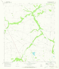
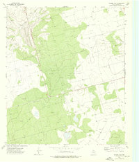
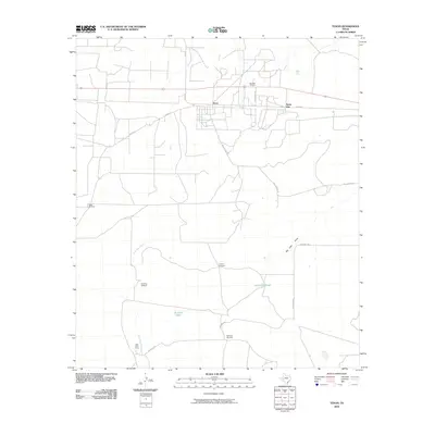
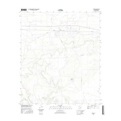
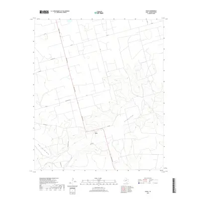
1970 Map of Texon
USGS Topo · Published 1973About this map
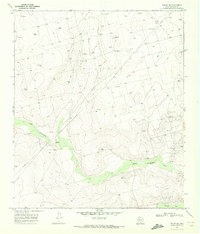
The Big Lake Oil Field dominates the landscape of Reagan County in the early 1970s, illustrating the heavy industrial footprint of petroleum extraction in West Texas. This era of production is marked by an extensive network of pipelines and numerous oil wells concentrated near the settlements of Texon and Santa Rita. These communities, along with Lone Wolf Camp, sit along the tracks of the Atchison Topeka and Santa Fe railroad, which provided the essential transportation link for the region's energy resources.
Find a feature on this map
19 named features on this map. Tap any name to fly to it.
Don’t see what you’re looking for? This feature index may not catch every label — zoom into the map to look around manually.
Map Details
Editions of this 1970 Texon Map
This is the sole edition of this map. No revisions or reprints were ever made.
Historical Maps of Texon Through Time
90 maps found
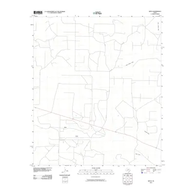
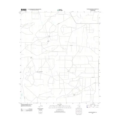
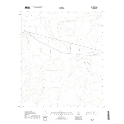
1970 Best
Reagan County, TX
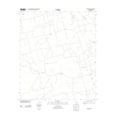
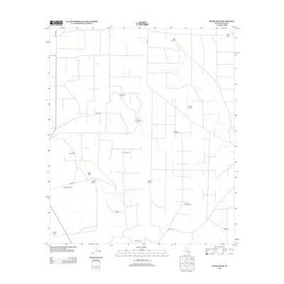
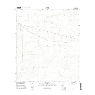
1970 Divide Draw
Reagan County, TX
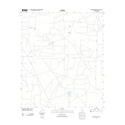
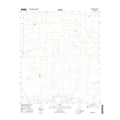
1970 Gardener Draw
Reagan County, TX
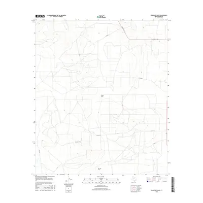
1970 Garrison Draw
Reagan County, TX
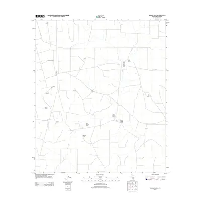
1970 Moore Hill
Reagan County, TX
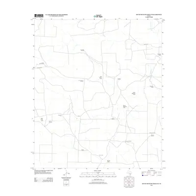
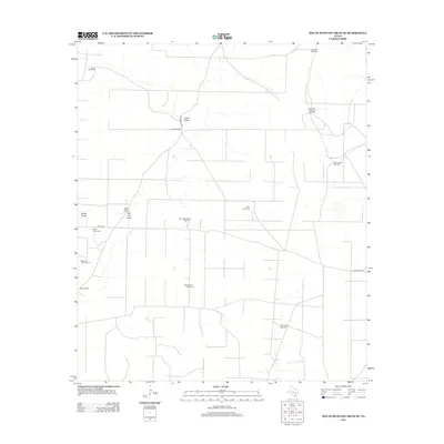
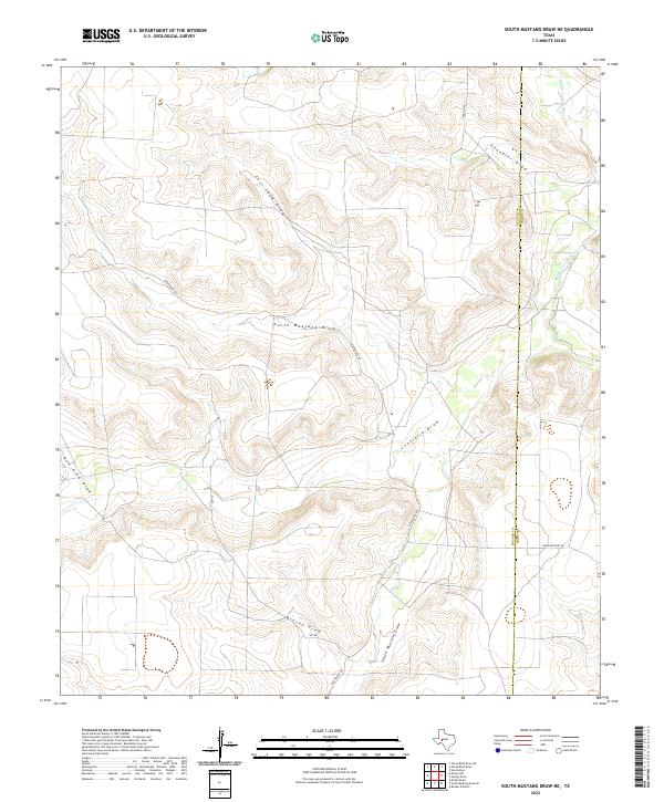
1970 South Mustang Draw NE
Reagan County, TX
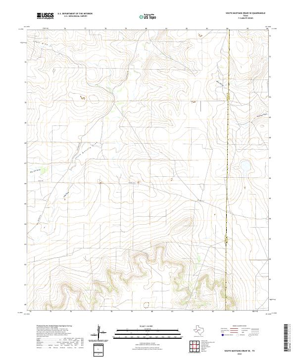
1970 South Mustang Draw SE
Reagan County, TX
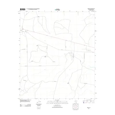
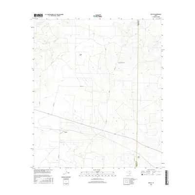
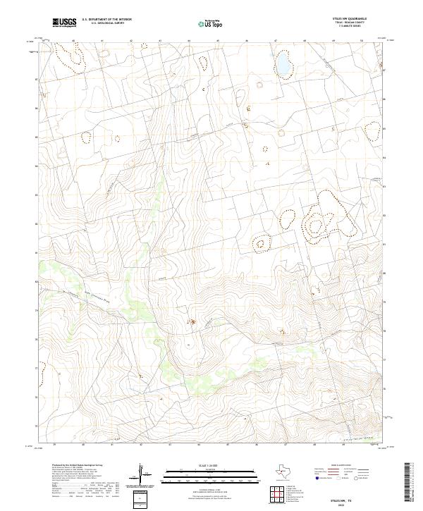
1970 Stiles NW
Reagan County, TX
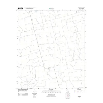
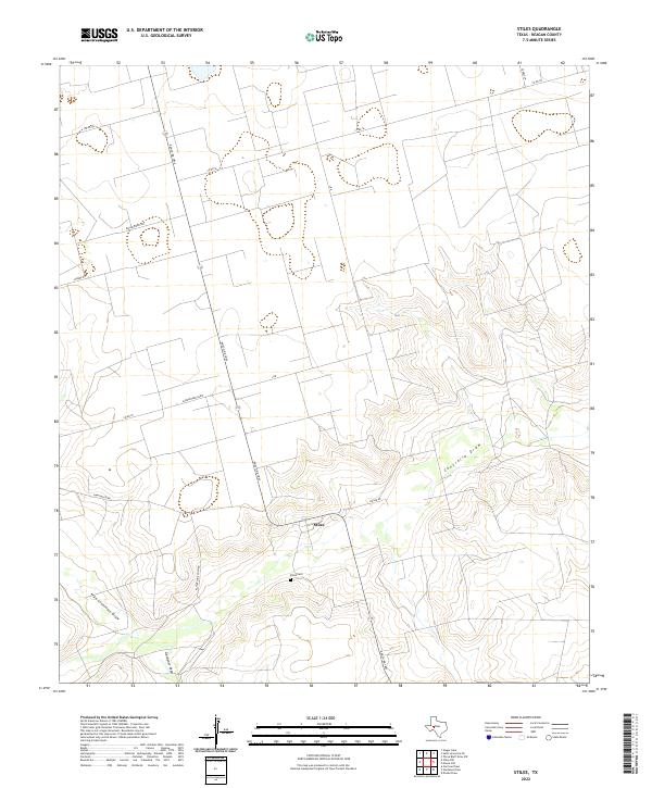
1970 Stiles
Reagan County, TX
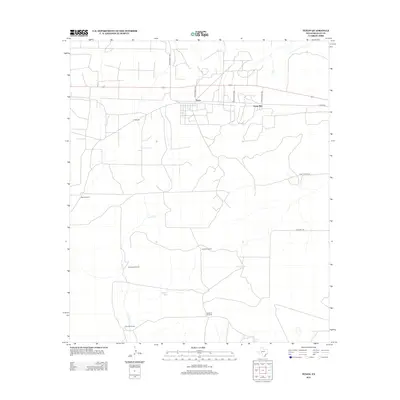
1970 Texon
Reagan County, TX
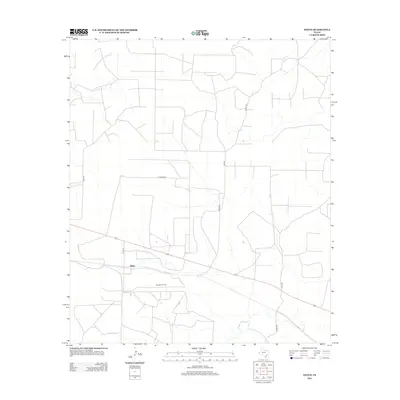
1971 Witco
Reagan County, TX
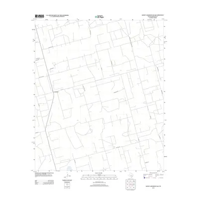
1973 Saint Lawrence SE
Reagan County, TX
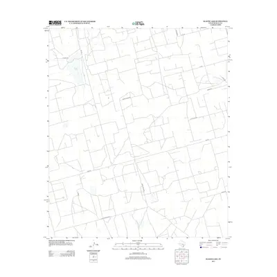
1973 Slager Lake
Reagan County, TX
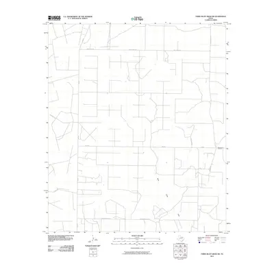
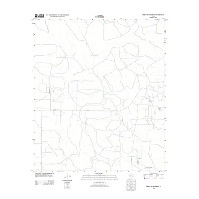
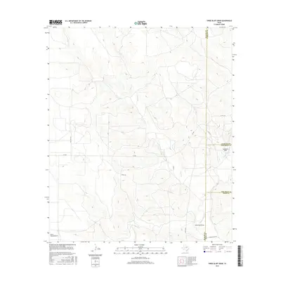
1973 Three Bluff Draw
Reagan County, TX
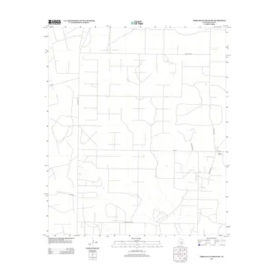
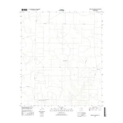
1973 Three Bluff Draw SW
Reagan County, TX
2010 Best
Reagan County, TX
2010 Divide Draw
Reagan County, TX
2010 Gardener Draw
Reagan County, TX
2010 Garrison Draw
Reagan County, TX
2010 Moore Hill
Reagan County, TX
2010 Saint Lawrence SE
Reagan County, TX
2010 Slager Lake
Reagan County, TX
2010 South Mustang Draw NE
Reagan County, TX
2010 South Mustang Draw SE
Reagan County, TX
2010 Stiles NW
Reagan County, TX
2010 Stiles
Reagan County, TX
2010 Texon
Reagan County, TX
2010 Three Bluff Draw
Reagan County, TX
2010 Three Bluff Draw SW
Reagan County, TX
2010 Witco
Reagan County, TX
2012 Best
Reagan County, TX
2012 Garrison Draw
Reagan County, TX
2012 Moore Hill
Reagan County, TX
2012 Saint Lawrence SE
Reagan County, TX
2012 Slager Lake
Reagan County, TX
2012 South Mustang Draw NE
Reagan County, TX
2012 South Mustang Draw SE
Reagan County, TX
2012 Stiles NW
Reagan County, TX
2012 Stiles
Reagan County, TX
2012 Texon
Reagan County, TX
2012 Three Bluff Draw
Reagan County, TX
2012 Three Bluff Draw SW
Reagan County, TX
2012 Witco
Reagan County, TX
2013 Divide Draw
Reagan County, TX
2013 Gardener Draw
Reagan County, TX
2016 Best
Reagan County, TX
2016 Divide Draw
Reagan County, TX
2016 Gardener Draw
Reagan County, TX
2016 Garrison Draw
Reagan County, TX
2016 Moore Hill
Reagan County, TX
2016 Saint Lawrence SE
Reagan County, TX
2016 Slager Lake
Reagan County, TX

2016 South Mustang Draw NE
Reagan County, TX
2016 South Mustang Draw SE
Reagan County, TX
2016 Stiles NW
Reagan County, TX
2016 Stiles
Reagan County, TX
2016 Texon
Reagan County, TX
2016 Three Bluff Draw
Reagan County, TX
2016 Three Bluff Draw SW
Reagan County, TX
2016 Witco
Reagan County, TX
2019 Best
Reagan County, TX
2019 Divide Draw
Reagan County, TX
2019 Gardener Draw
Reagan County, TX

2019 Garrison Draw
Reagan County, TX
2019 Moore Hill
Reagan County, TX
2019 Saint Lawrence SE
Reagan County, TX
2019 Slager Lake
Reagan County, TX
2019 South Mustang Draw NE
Reagan County, TX
2019 South Mustang Draw SE
Reagan County, TX
2019 Stiles NW
Reagan County, TX
2019 Stiles
Reagan County, TX
2019 Texon
Reagan County, TX
2019 Three Bluff Draw
Reagan County, TX
2019 Three Bluff Draw SW
Reagan County, TX
2019 Witco
Reagan County, TX
2022 Best
Reagan County, TX
2022 Divide Draw
Reagan County, TX
2022 Gardener Draw
Reagan County, TX
2022 Garrison Draw
Reagan County, TX
2022 Moore Hill
Reagan County, TX
2022 Saint Lawrence SE
Reagan County, TX
2022 Slager Lake
Reagan County, TX
2022 South Mustang Draw NE
Reagan County, TX
2022 South Mustang Draw SE
Reagan County, TX
2022 Stiles NW
Reagan County, TX
2022 Stiles
Reagan County, TX
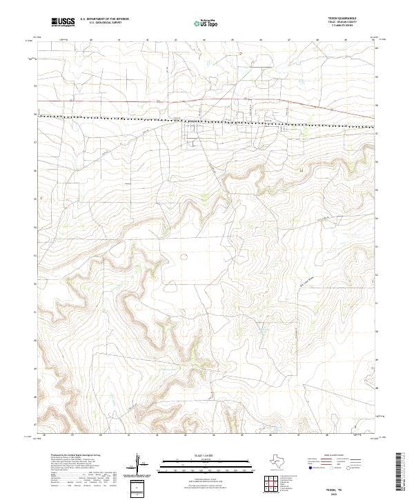
2022 Texon
Reagan County, TX
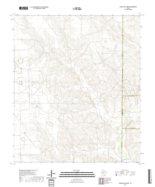
2022 Three Bluff Draw
Reagan County, TX
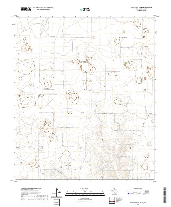
2022 Three Bluff Draw SW
Reagan County, TX
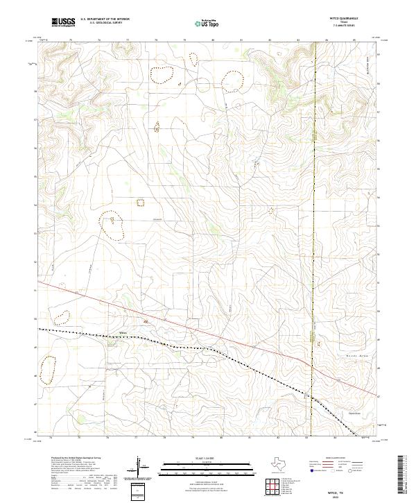
2022 Witco
Reagan County, TX